Klamath National Forest, California Camping & Hiking

Klamath National Forest, California Camping & Hiking

Klamath National Forest Image Gallery

Activities

AUTO TOURING, BIKING, CAMPING, INTERPRETIVE PROGRAMS, FISHING, HIKING, HORSEBACK RIDING, HUNTING, OFF HIGHWAY VEHICLE, PICNICKING, RECREATIONAL VEHICLES, VISITOR CENTER, WILDLIFE VIEWING, SWIMMING, HORSE CAMPING

Camping Reservations

Reserve your campsite at these camping areas:

California Campgrounds

CARTER MEADOWS HORSE GROUP

INDIAN SCOTTY GROUP SITE

SARAH TOTTEN CAMPGROUND

CURLY JACK CAMPGROUND

TREE OF HEAVEN CAMPGROUND

JUANITA LAKE GROUP CAMPSITE

Hiking Trails

Looking for nice hiking areas to take a hike? Choose from these scenic hiking trails:

California Hiking Trails

A. Ash Creek River Access

U. Dillon Creek River Access

Y. Rock Creek River Access

Z. Stuarts Bar River Access

Norcross Trailhead

Canyon Creek River Access

Etna Summit Trailhead

Shackleford Trailhead

Taylor Lake Trailhead

Carter Meadows Summit Trailhead

Bigflat Trailhead

Humbug OHV Recreation Area

Happy Camp Town Trailhead

Benjamin Creek Trailhead

Cook and Green Pass Trailhead

Related Link(s)

More California Recreation Areas

Klamath National Forest

A man hikes along a trail on a high ridge overlooking a beautiful valley.

A man hikes along a trail on a high ridge overlooking a beautiful valley.

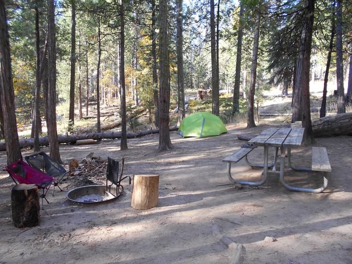
Want to kick back and relax under shady pines by a sparkling lake? Looking for a “base camp” for a day of hiking, boating, white water rafting, fishing, or swimming? Want to just get out of the house for the day for a nice picnic in the great outdoors? If so, the Klamath National Forest can offer you that and more!

With nearly one million acres for your enjoyment, relaxation, and exploration, you can experience the solitude of the wilderness or enjoy camping near others in developed campgrounds. Camp in densely forested woodlands or open meadows, discover secluded flats along river banks and enjoy panoramic views of majestic mountains.

A continuing goal of the Klamath National Forest is to make these recreational opportunities accessible to persons with disabilities.

More from CampingHiking.net:

Long Branch Lake, Missouri Camping & Hiking

Directions From Columbia, 59 miles north on US 63 to Macon, then 2 miles west on US 36. Phone (660) 385-2108 Activities BOATING, CAMPING, FISHING, HIKING, PICNICKING, VISITOR CENTER, WATER

Knightville Dam, Massachusetts Camping & Hiking

Directions From Westfield, west on US 20 to Huntington, right on MA 112 north to dam. Phone (413) 667-3430 Activities HIKING, PICNICKING, WILDLIFE VIEWING, ENVIRONMENTAL EDUCATION Camping Reservations Reserve your