Wallowa Whitman National Forest, Idaho Camping & Hiking

Wallowa Whitman National Forest, Idaho Camping & Hiking

Wallowa Whitman National Forest Image Gallery

Activities

BIKING, BOATING, CAMPING, FISHING, HIKING, HORSEBACK RIDING, HUNTING, OFF HIGHWAY VEHICLE, PICNICKING, WINTER SPORTS, RECREATIONAL VEHICLES, WILDLIFE VIEWING, FIRE LOOKOUTS/CABINS OVERNIGHT, SWIMMING, HORSE CAMPING

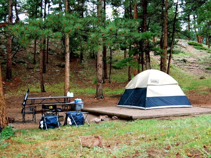
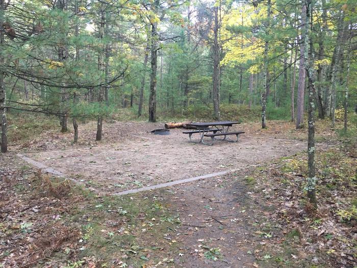
Camping Reservations

Reserve your campsite at these camping areas:

Idaho Campgrounds

UNION CREEK CAMPGROUND

Anthony Lake

MUD LAKE CAMPGROUND

PEAVY CABIN

ANTLERS GUARD STATION CABIN

ANTHONY LAKE GUARD STATION

TWO COLOR GUARD STATION

Hiking Trails

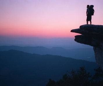
Looking for nice hiking areas to take a hike? Choose from these scenic hiking trails:

Idaho Hiking Trails

Bear Wallow Trailhead

Bowman-Francis Lake Trailhead

Cougar Ridge Trailhead

Hurricane Creek Trailhead

Wallowa Mtns/Eagle Cap Area

Hells Canyon National Recreation Area – Idaho

Hells Canyon – Oregon/Wallowa Valley

Blue Mtns North/Grande Ronde River Basin Area

Southern Elkhorn Mtn/Powder River Basin Area

Warnock Corrals Trailhead

Windy Saddle Horse Camp

Kirkwood Ranch

Pittsburg Landing Boat Launch

Buck Creek NRA Trailhead

Dug Bar Trailhead and Boat Launch

Hat Point Overlook and Day Use Area

Indian Crossing Trailhead

PO Saddle Trailhead

Buck Creek Forest Camp and Trailhead

Main Eagle Trailhead

Moss Springs Trailhead

Baldy Creek Trailhead

Baldy Lake Trailhead

Bull Run Trailhead

Crawfish Basin Trailhead

Deadman Canyon Trailhead

Elkhorn Crest Trailhead

Gold King Trailhead

Horse Lake Trailhead

Lake Fork West Trailhead

Marble Pass Trailhead

Eagle Forks Trailhead

Oregon OHV Trailhead

Peavy Trailhead

Sugarloaf Trailhead

Table Rock North Trailhead

Upper Crawfish Lake Trailhead

Little Kettle Creek Trailhead

Frog Pond Trailhead

Tenderfoot Trailhead

Related Link(s)

More Idaho Recreation Areas

Wallowa Whitman National Forest

Eye Catching Scenery!

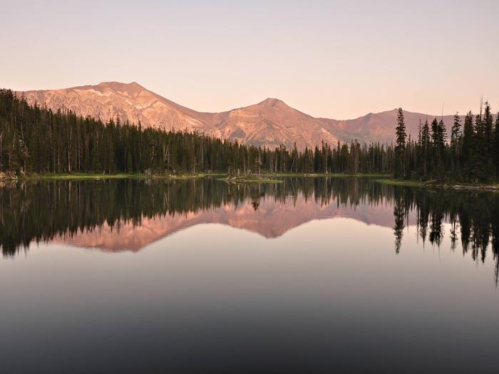
Spanning 2.3 million acres across the northeast corner of Oregon and western Idaho, the Wallowa-Whitman National Forest offers a variety of year-round recreational opportunities. With landscapes packed with rugged canyonlands, scenic vistas, and high mountain lakes, visitors have enjoyed the forest™s diverse landscape and recreational activities for generations.

Make the Wallowa-Whitman National Forest your ˜special place™ to visit this year!

Recreation Map

A map showing recreation areas.

Interactive Visitor Map Wallowa-Whitman National Forest

More from CampingHiking.net:

Cache Creek, California Camping & Hiking

Directions Trailheads for the Cache Creek Area can be accessed from State Highway 20, west of Williams, CA and from State Highway 16, north of Rumsey, CA Phone 707-468-4000 Activities