

Listen
Directions
Nimbus Dam on the American River in Sacramento County and extends southward, paralleling and to the east of State Highway 99 through San Joaquin County.
Phone
916-988-1707
Activities
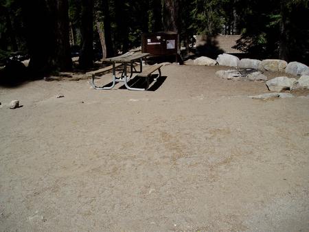
BIKING, HIKING, HORSEBACK RIDING
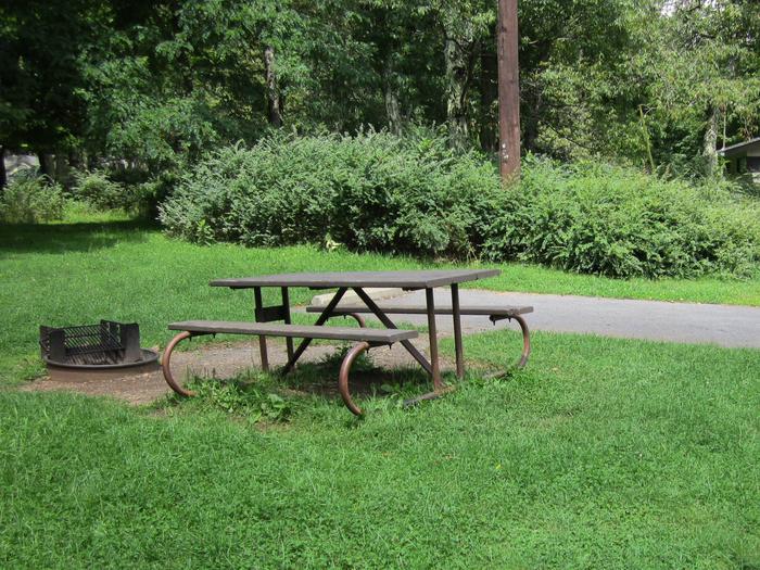
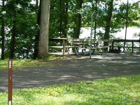
Camping Reservations
Reserve your campsite at these camping areas:
Hiking Trails
Looking for nice hiking areas to take a hike? Choose from these scenic hiking trails:
Related Link(s)
More California Recreation Areas
Ellsworth Rock Gardens Tour and Eagle WatchOfficial Web Site
The 69 mile long Folsom South Canal originates at Nimbus Dam on the American River in Sacramento County and extends southward, paralleling and to the east of State Highway 99 through San Joaquin County. Canal bikeway is open year round, and can be accessed at many locations. Call for details.