Directions
In Ukiah, take State Highway 101 south to the Talmage exit. Go east on Talmage Road about 1.5 miles. Turn right at East Side Road. Travel less than 0.5 mile to Mill Creek Road, which is on the left. Continue on Mill Creek Road 3 miles to turnoff for the North Cow Mountain Area, and 5 miles for entrance to South Cow Mountain.
Phone
707-468-4000
Activities
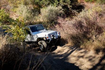
AUTO TOURING, BIKING, CAMPING, HIKING, HORSEBACK RIDING, HUNTING, OFF HIGHWAY VEHICLE, PICNICKING, RECREATIONAL SHOOTING
Camping Reservations
Reserve your campsite at these camping areas:
Hiking Trails
Looking for nice hiking areas to take a hike? Choose from these scenic hiking trails:
Related Link(s)
More California Recreation Areas
Download the Cow Mountain Recreation Area Map and Guide
Please visit the following sites for more information about North and South Cow Mountain.

