Directions
From Opelousas 5 miles east on US 190.
Phone
(337) 585-0853
Activities
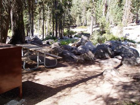
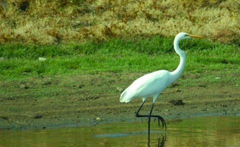
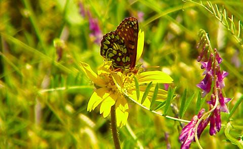
BOATING, HISTORIC & CULTURAL SITE, HIKING, OFF HIGHWAY VEHICLE, PICNICKING, WATER SPORTS, WILDLIFE VIEWING, ENVIRONMENTAL EDUCATION
Camping Reservations
Reserve your campsite at these camping areas:
Hiking Trails
Looking for nice hiking areas to take a hike? Choose from these scenic hiking trails:
Related Link(s)
More Louisiana Recreation Areas
The project encompasses 595,000 acres of the largest contiguous tract of bottomland hardwoods in the United States. The Atchafalaya Basin is a scenic semi-wilderness area of hardwood forests, cypress stands, marshes and bayous. It is one of the last great river swamps left in the nation. The Atchafalaya River and hundreds of miles of bayous bring life to this wilderness area.