Directions
From Baton Rouge, LA, take U.S. Highway 190 west to the Atchafalaya River, then go south on Louisiana Highway 975 to the Sherburne WMA. You may also drive from Baton Rouge or Lafayette, LA by taking Interstate 10 to the Whiskey Bay Bridge. Exit onto Hwy 975 north onto a gravel road about 9 miles. Turn right onto Bayou Manual Road or continue north along the levee for more entrances. After prolonged heavy rainfall, a 4×4 may temporarily be necessary to access the refuge by vehicle.
Phone
985-882-2000
Activities
BOATING, FISHING, HIKING, HUNTING
Camping Reservations
Reserve your campsite at these camping areas:
Hiking Trails
Looking for nice hiking areas to take a hike? Choose from these scenic hiking trails:
Related Link(s)
More Louisiana Recreation Areas
Atchafalaya National Wildlife Refuge
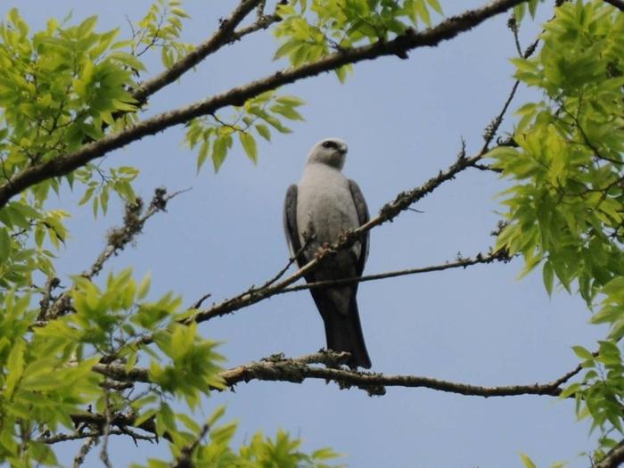
Atchafalaya NWR, about 30 miles west of Baton Rouge, Louisiana and one mile east of Krotz Springs, Louisiana lies just east of the Atchafalaya River. The refuge was established in 1986 to provide for 1) conservation and management of all fish and wildlife within the refuge, 2) to fulfill the international treaty obligations of the United States with respect to fish and wildlife, and 3) to provide opportunities for scientific research, environmental education, and fish and wildlife oriented recreation, including hunting, fishing and trapping, birdwatching, nature photography, and others. The refuge is encompassed within nearly one-half million acres of hardwood swamps, lakes and bayous. The natural floodplain of the Atchafalaya River flows for 140 miles south from its junction with the Mississippi River to the Gulf of Mexico. The basin’s dense bottomland hardwoods, cypress-tupelo swamps, overflow lakes, and meandering bayous provide a tremendous diversity of habitat for more than 200 species of resident and migratory birds and numerous other wildlife and the area has been recognized as an Internationally Important Bird Area. The basin’s wooded wetlands also provide vital nesting habitat for wood ducks, and support the nation’s largest concentration of American woodcock. Eagles, ospreys, swallow-tailed kites, and Mississippi kites can occasionally be seen soaring overhead. Wild turkeys, white-tailed deer, gray and fox squirrels, eastern cottontail, swamp rabbit, gray and red fox, coyote, striped skunk, and opposum inhabit the refuge, as do a small remnant population of black bears. Furbearers found in this great swamp are raccoon, mink, bobcat, nutria, muskrat, river otter, and beaver. The lifeblood of the fishery is the basin’s annual flooding and dewatering cycle. Overflows occur during the winter and spring rains, with many areas gradually becoming dewatered during the summer and fall. Sportfishing is popular throughout the basin. Largemouth bass, white crappie, black crappie, warmouth, bluegill, redear sunfish, and channel catfish are the primary species sought. More than 85 species of fish occur in the basin, and their populations frequently exceed 1,000 pounds per acre. Red swamp crawfish and white river crawfish are also important for both a sport and commercial harvest.


