Directions
Like much of rural Alaska, the Innoko Refuge is not accessible by car since there are no roads in this part of the country. Access is typically by small airplanes equipped for water landings (floatplanes) during the spring, summer, and fall. Winter access is by small ski planes, snowmobile or dogsled, when ice and snow conditions are adequate. Most visitors reach the refuge using privately owned aircraft, commercial guiding & outfitting services, or commercial air taxi operators. Many of the outfitting services and air taxis operate out of the village of McGrath, which is served by commercial airlines out of Anchorage. For more information on current outfitters and transporters, contact the refuge office.
Accessing the refuge by boat requires a little more planning. It is a 111-mile boat trip from the mouth of the Innoko River to the southern refuge boundary. During high water, boaters can also enter from the Yukon River through Holikachuk Slough. From the east, boaters can access the upper Innoko River at the abandoned mining town of Ophir, though low water may be encountered in late summer. Take a look at our refuge map for more detailed information. Watercraft transportable by small aircraft, such as inflatable rafts and folding kayaks, can be used for transportation within the refuge and offer unique opportunity for wildlife viewing.
Phone
907-656-1231 or 800-656-1231
Activities
WILDERNESS
Camping Reservations
Reserve your campsite at these camping areas:
Hiking Trails
Looking for nice hiking areas to take a hike? Choose from these scenic hiking trails:
Related Link(s)
Innoko National Wildlife Refuge
The Innoko Wilderness now contains a total of 1,240,000 acres and is managed by the Fish & Wildlife Service’s Innoko National Wildlife Refuge. All of the Wilderness is in the state of Alaska. In 1980 the Innoko Wilderness became part of the now over 110 million acre National Wilderness Preservation System.
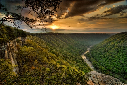
Along the eastern bank of the Yukon River, bordered on the north by the Khotol Hills and the south and east by the Kuskokwim Mountains, Innoko National Wildlife Refuge is split into two huge halves that together contain 3.85 million acres. The southeastern portion of the refuge, roughly one-third of the total area, has been designated Wilderness. A transition zone between the boreal forestland of interior Alaska and the open tundra of western Alaska, Innoko stands well over half in wetlands of muskeg and marsh, lakes, meandering rivers, and streams dotted with islands of black spruce and an understory of mosses, lichens, and shrubs. Paper birch and white spruce cover hills rolling up from the Yukon and Innoko Rivers, and along the rivers you’ll find numerous privately owned subsistence camps used periodically for hunting and fishing by Native Alaskans. The rivers, bound with willows and alder, run rich with salmon, whitefish, sheefish, grayling, and northern pike. All the lakes have northern pike except the shallow bodies of water that freeze to the bottom in winter.
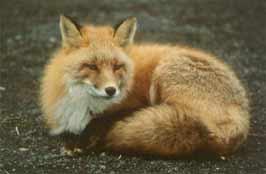
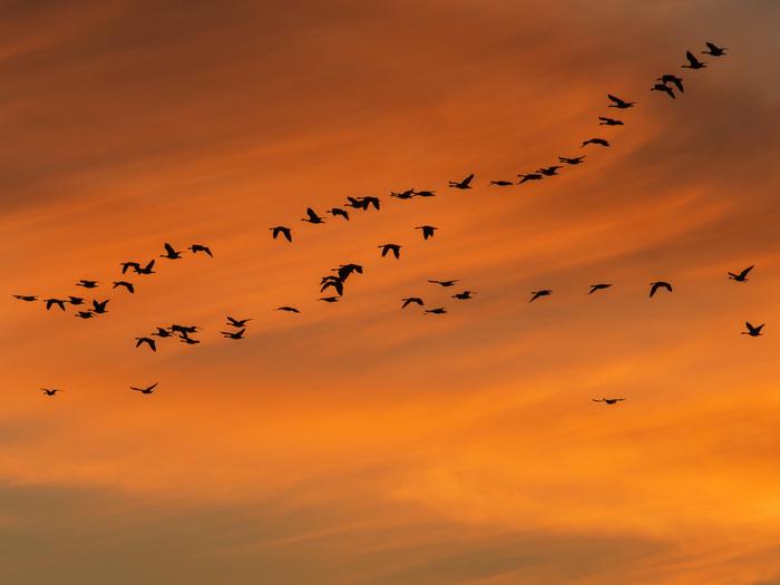
More than 20,000 beavers live in these wetlands, the densest population in the state, along with moose and caribou, black and brown bears, red foxes, coyotes, lynx, otters, wolves, and wolverines. An estimated 65,000 white-fronted and lesser Canada geese spend their summers here with more than 380,000 other waterfowl and shorebirds, including pintails, scaups, shovelers, scoters, widgeons, red-necked grebes, lesser yellowlegs, and Hudsonian godwits. Hungry mosquitoes cloud the summer landscape.
Of the few human visitors, moose hunters are the most common. They find no trails, no facilities, and no immediate aid from the refuge staff of seven permanent employees who live 70 air miles away. Camping is unrestricted, except on private inholdings. Campfires are permitted, and firewood is abundant.
You could get rained on anytime in spring, summer, or fall, and temperatures could drop to freezing any night of the year. Winter temperatures sometimes reach 60 degrees below zero Fahrenheit. From May through July light is almost constant, and the sun never sets in mid-June. In mid-December the sun never rises. If you come, bring rubber boots for walking. You’ll need binoculars for observing all the wildlife–except the mosquitoes, of course, which are inescapable.


