Directions
Leadville National Fish Hatchery 2846 Highway 300 Leadville, CO 80461
Phone
(719) 486-0189
Activities
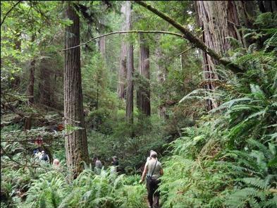
WILDERNESS
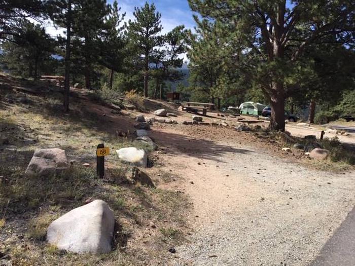
Camping Reservations
Reserve your campsite at these camping areas:
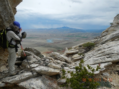
Hiking Trails
Looking for nice hiking areas to take a hike? Choose from these scenic hiking trails:
Related Link(s)
More Colorado Recreation Areas
Leadville National Fish Hatchery
The Mount Massive Wilderness now contains a total of 30,540 acres and is managed by the Fish & Wildlife Service and the Forest Service. All of the Wilderness is in the state of Colorado. In 1980 the Mount Massive Wilderness became part of the now over 110 million acre National Wilderness Preservation System.
Mount Massive (14,421 feet), Colorado’s second highest peak, and other mountains of the Sawatch Range have two distinctive characteristics: great height, and a huge, sloping bulk that makes them relatively easy to climb. Nowhere along the Continental Divide does the ground rise higher than the Sawatch Range, the crest of this continent. Just south of the Wilderness stands Mount Elbert at 14,443 feet, Colorado’s highest summit. The divide marks the western boundary of this area, with the Hunter-Fryingpan Wilderness immediately to the other side. Dry lodgepole pine forests, typical of the eastern slopes of the divide, cover much of the lower elevations and give way to spruce and fir higher up before all trees yield to alpine tundra.
The Leadville National Fish Hatchery, managed by the US Fish and Wildlife Service, comprises approximately 2,500 acres. The majority of the Fish Hatchery lies within the boundary of the Mount Massive Wilderness. The hatchery land inside the Wilderness boundary is co-managed by the USFS and USFWS. The USFS is the principal land manager, protecting the Wilderness resources. The USFWS manages the fishery and water resources to protect and perpetuate native fish species.
The Colorado Trail crosses 10 miles of the eastern region, and only about 10 more miles of trails exist in this Wilderness.