Directions
The Swanquarter Wilderness is along the northern coast of Pamlico Sound. The refuge lies about 60 miles east of Washington, NC, south of the village of Swan Quarter. A two-mile long gravel road south of Highway 264 leads into the upland portion of the refuge and to the site of the 1000 foot long Bell Island fishing pier. All other access to the refuge is via boat only.
Phone
252-926-4021
Activities
WILDERNESS
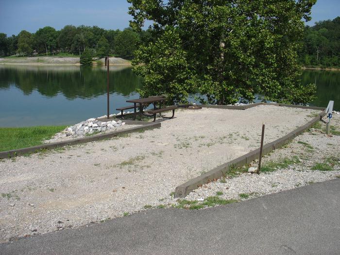
Camping Reservations
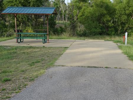
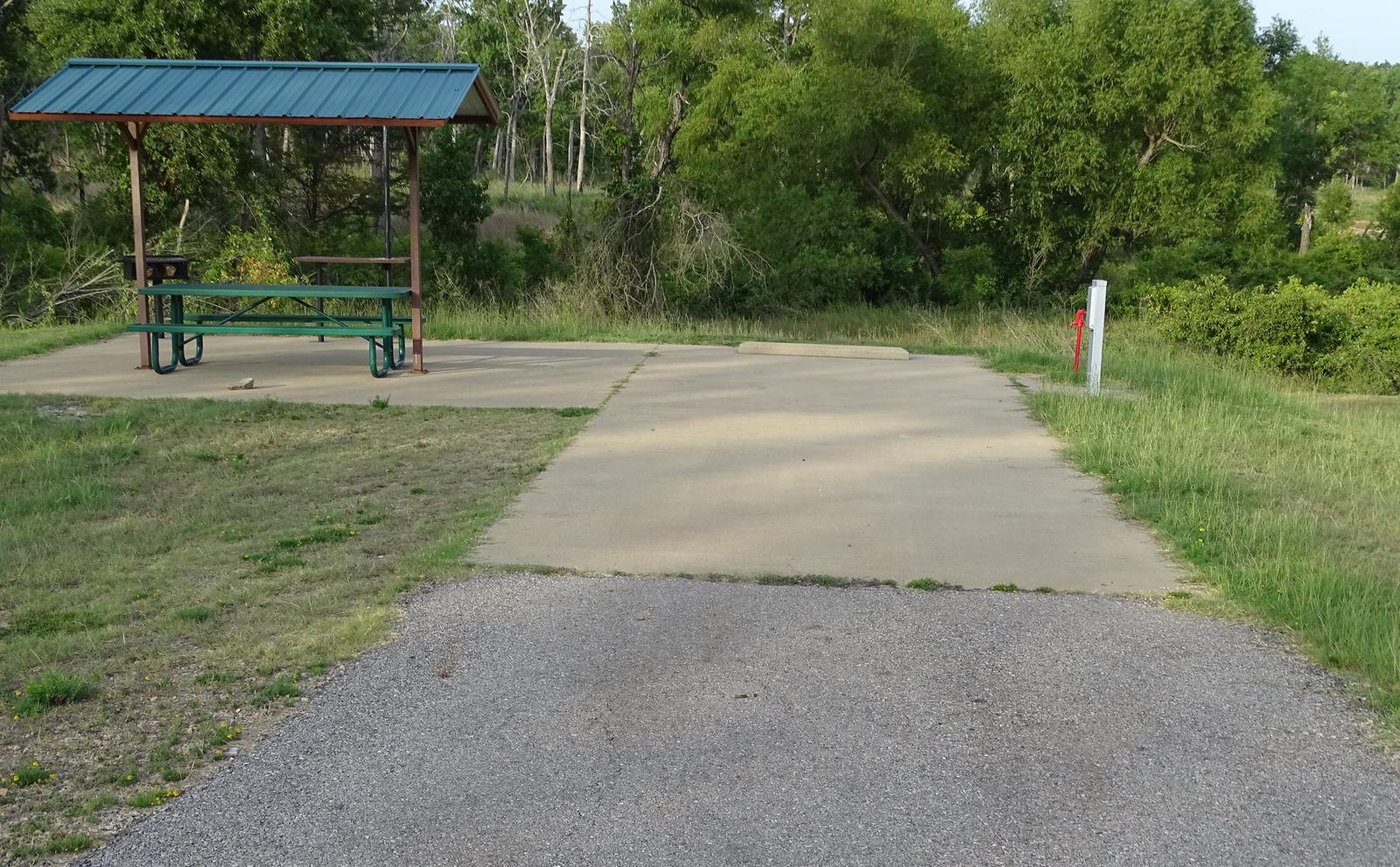
Reserve your campsite at these camping areas:
Hiking Trails
Looking for nice hiking areas to take a hike? Choose from these scenic hiking trails:
Related Link(s)
More North Carolina Recreation Areas
Mattamuskeet National Wildlife Refuge
The Swanquarter Wilderness now contains a total of 8,785 acres and is managed by the Fish & Wildlife Service’s Mattamuskeet National Wildlife Refuge. All of the Wilderness is in the state of North Carolina. In 1976 the Swanquarter Wilderness became part of the now over 110 million acre National Wilderness Preservation System.
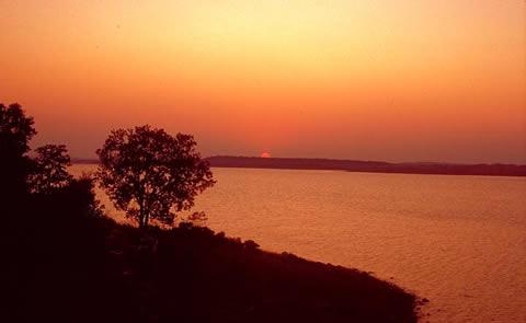
Established in 1932, Swanquarter National Wildlife Refuge, a satellite of Mattamuskeet National Wildlife Refuge, encompasses 16,411 acres of islands and coastal marshland on the north side of Pamlico Sound. Another 27,082 acres of nearby open water protects migratory birds under Presidential Proclamation.
Access to most of Swanquarter Refuge requires a boat. One road, outside the Wilderness, leads to the refuge’s 1,000-foot-long Bell Island fishing pier in the northerwest portion of the Refuge, off U.S. 264. More than one-half of the refuge has been designated Wilderness: Judith Island, Swanquarter Island, Great Island, Marsh Island, and portions of the mainland along Juniper Bay. Judith, Swanquarter, and Great Islands are entirely estuarine, dominated by black needlerush, intermittently under water usually due to wind tides. Marsh Island is almost entirely estuarine, with a small upland forest section on the extreme northern boundary. Along the mainland of Juniper Bay, the Wilderness is approximately half estuarine and half upland forest.
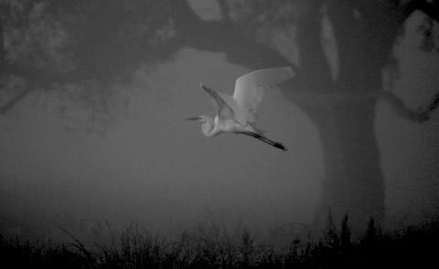
In uplands forested in loblolly pine you may catch a glimpse of white-tailed deer, opossums, raccoons, and squirrels. Yellow-bellied turtles and water snakes inhabit the needlerush and saw grass that blankets most of the refuge, and a few of the northernmost American alligators live here in brackish water. Most visitors come to fish from May through November for croaker, spot, speckled trout, flounder, puppydrum(young redfish), and bluefish. Crabbing is a popular sport in the warmer months. Portions of the refuge are open seasonally for waterfowl hunting.