Directions
The Bandon Marsh Unit is accessible from boat launches at the Port of Bandon, and by vehicle off of Riverside Drive, which connects Highway 101 and scenic downtown Bandon. From US Highway 101 just north of Bandon, turn west onto Riverside Drive and park in the refuge parking lot on the west side of the road. The Ni-les’tun Unit is one quarter mile upstream from the Bandon Marsh Unit, along the north bank of the Coquille River on North Bank Lane.
Phone
541-347-1470
Activities
BOATING, FISHING, HUNTING, WILDLIFE VIEWING, ENVIRONMENTAL EDUCATION, PHOTOGRAPHY
Camping Reservations
Reserve your campsite at these camping areas:
Hiking Trails
Looking for nice hiking areas to take a hike? Choose from these scenic hiking trails:
Related Link(s)
Bandon National Wildlife Refuge
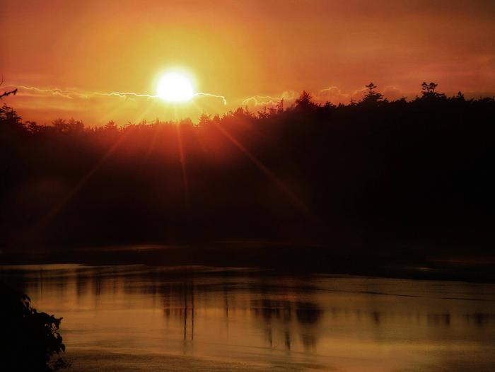
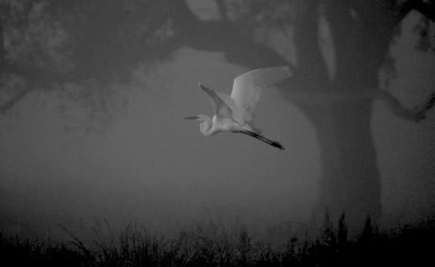
Bandon Marsh Refuge is located along the picturesque southern Oregon coast near the mouth of the Coquille River, and the city of Bandon. There are two units to the Bandon Marsh NWR: Bandon Marsh Unit and Ni-les’tun Unit. The Bandon Marsh Unit protects the largest remaining tract of salt marsh within the Coquille River estuary. Major habitats include undisturbed salt marsh, mudflat, and Sitka spruce and alder river bank communities. These provide resting and feeding areas for migratory waterfowl, shorebirds, wading birds, neotropical migrants, and raptors. The lower Coquille River estuary provides important habitat for juvenile and adult forms of anadromous fish species found in the lower Coquille River estuary include Coho and Chinook salmon, steelhead, and cutthroat trout. Wildlife observation and study, photography, hunting, fishing, and clamming are permitted public uses. The Ni-les’tun Unit of the Bandon Marsh NWR was named by Coquille Indian Tribe. Ni-les’tun means “small fish dam in the river,” and refers to the numerous fish weirs located on, and adjacent to the site, which were used by Coquille ancestors for capturing fish. This refuge unit is managed as a natural area with no habitat manipulation. Most of the land in the Ni-les’tun Unit is diked lowland pasture and will eventually be restored to tidal marsh, making history as the largest tidal marsh restoration project ever attempted in Oregon. Other habitats of the Ni-les’tun Unit include intertidal marsh, forested wetlands, grasslands, and upland forest. Public use on the Ni-les’tun Unit is currently limited to environmental education. However, opportunities for wildlife interpretation, observation, photography, and hunting may be developed in the future.


