Directions
From the North – Philadelphia Area – I-95 South into Delaware – Route 1 South (Christiana exit) (toll road $1.00) – Exit 114 (Route 13 North) for Smyrna. Right turn at the end of the exit ramp. – Right at the next light onto Route 12 East (Smyrna-Leipsic Road) – Route 12 merges with Route 9 South (5 miles) – Left onto Whitehall Neck Road which ends at the Refuge From Washington, DC Area – I-95 North to Washington, DC Beltway – Route 50 East over the Chesapeake Bay Bridge – 301 North – Route 300 East to Smyrna – Route 13 South – Left on Rt 12 East (Symrna-Leipsic Road) until it merges with Rt 9 (5 miles) – Left on Whitehall Neck Road which ends at the Refuge From Dover, Delaware – Take Route 13 North – Turn right onto Route 42 East into Leipsic – Turn left onto Route 9 and proceed north for 2 miles – Turn right onto Whitehall Neck Road which ends at the Refuge entrance
Phone
302-653-9345
Activities
AUTO TOURING, HISTORIC & CULTURAL SITE, INTERPRETIVE PROGRAMS, HIKING, HUNTING, VISITOR CENTER, WILDLIFE VIEWING, ENVIRONMENTAL EDUCATION, PHOTOGRAPHY
Camping Reservations
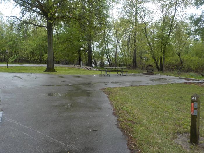
Reserve your campsite at these camping areas:
Hiking Trails
Looking for nice hiking areas to take a hike? Choose from these scenic hiking trails:
Related Link(s)
More Delaware Recreation Areas
Bombay Hook National Wildlife Refuge
Since 1937, Bombay Hook has hosted hundreds of thousands of migrating ducks, geese, shorebirds, and neotropical songbirds, all following old traditions of natural history, the spring and fall migrations. Tired and hungry, they seek shelter at Bombay Hook and feast on marsh grasses, fish, and other important foods before continuing their flight.
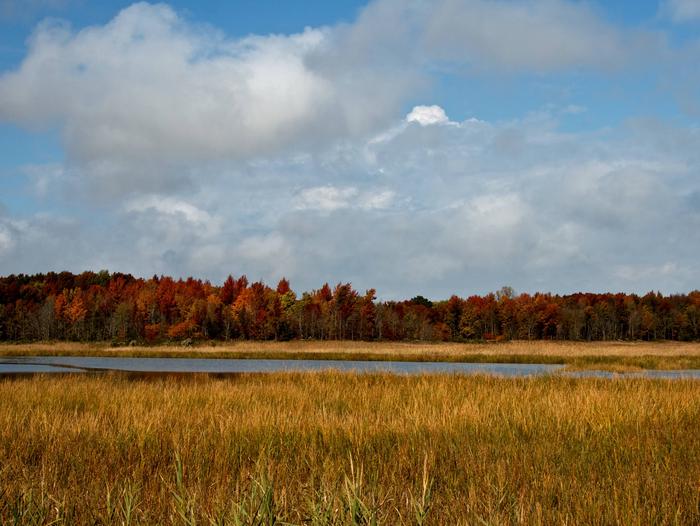
Bombay Hook is one of many refuges providing critical habitat between Canada and the Gulf of Mexico. Its 16,000 acres include freshwater pools, swamps, upland forests, agricultural fields, and one of the largest unaltered tidal salt marshes in the Mid-Atlantic region.
The refuge offers visitors a 12-mile wildlife drive, five walking trails (2 handicapped accessible), three observation towers, wildlife photography, hunting opportunities, a variety of nature and educational programs, and interpretative displays.

