Directions
Riverside County; 7 miles south of Palm Springs, California. State Highway 74 provides access to the Santa Rosa Mountains from the north; State Highway 86 and surface streets provide access from the east.
Phone
760-833-7100 (Field Office) or 760-862-9984 (Visitor Center)
Activities
HISTORIC & CULTURAL SITE, CAMPING, HIKING, HORSEBACK RIDING, HUNTING, WILDLIFE VIEWING, WILDERNESS, PHOTOGRAPHY
Camping Reservations
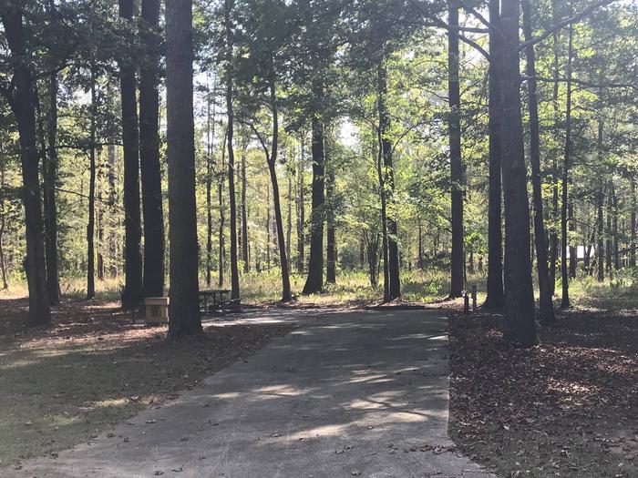
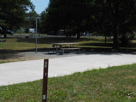
Reserve your campsite at these camping areas:
Hiking Trails
Looking for nice hiking areas to take a hike? Choose from these scenic hiking trails:
Related Link(s)
More California Recreation Areas
Official website for the Santa Rosa Wilderness
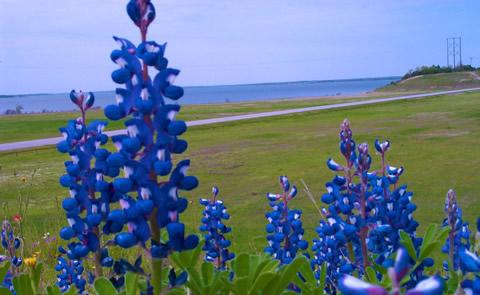
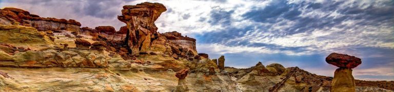
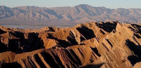
The terrain within the Santa Rosa Mountains Wilderness is rugged with elevations rising dramatically from just above sea level to 7,000 feet. Laced with deep washes and shallow drainages, the area supports a variety of riparian streams which flow year-round. Here, desert and mountain environments blend together to form unique plant habitats, which thrive in riparian oases. The Santa Rosas are strewn with boulders. The steep canyon walls have been eroded by springs and streams. Bear Creek Oasis, Lost Canyon Oasis, Guadelupe Canyon, Devil Canyon and Rockhouse Canyon are all found within this wilderness. Many of these areas provide important lambing habitat for bighorn sheep. The Santa Rosa Mountains support the largest herd of Peninsular bighorn sheep in the United States. Mule deer can be found throughout the coniferous forests, which grow along the higher elevations of the range. Great horned owls, prairie falcons and golden eagles nest and forage throughout the entire wilderness. Reptiles, including frogs, toads and the desert slender salamander also live in this desert setting.