Directions
The Refuge is located 50 miles southwest of Gainesville, Florida, at the terminus of State Road 24. The Refuge consists 13 small, off-shore islands surrounding the community of Cedar Key. The Refuge is accessible only by boat. A lauch ramp in the town of Cedar Key provides the closest access point. A fee is charged. There are also private vendors that rent boats or offer transportations to and around the islands.
There is no office or staff for Cedar Keys Refuge, personnel from Lower Suwannee National Wildlife Refuge, located on County Road 347, 17 miles north of Cedar Key, administer Cedar Keys refuge.
Phone
352-493-0238
Activities
BOATING, INTERPRETIVE PROGRAMS, FISHING, HIKING, WILDLIFE VIEWING, ENVIRONMENTAL EDUCATION, PHOTOGRAPHY, PADDLING
Camping Reservations
Reserve your campsite at these camping areas:
Hiking Trails
Looking for nice hiking areas to take a hike? Choose from these scenic hiking trails:
Related Link(s)
Cedar Keys National Wildlife Refuge
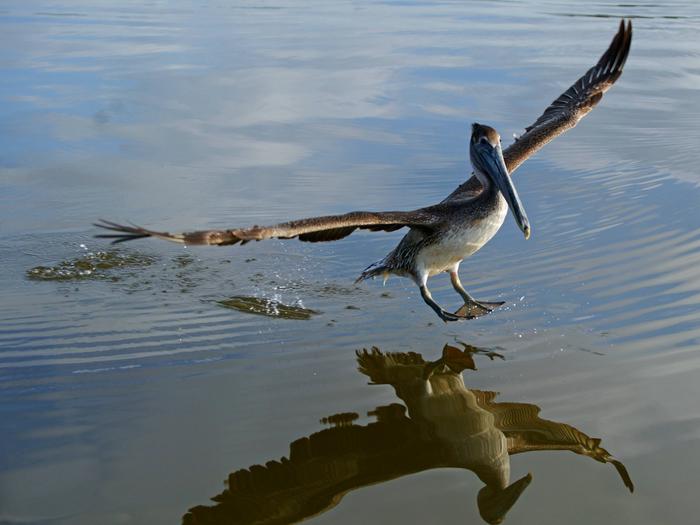
Cedar Keys National Wildlife Refuge was established in 1929 by President Herbert Hoover to protect a breeding ground for colonial nesting migratory birds during a time when market hunters, desiring feathers for the ladies’ apparel industry, were slaughtering millions of birds.
Today, the threat is much different – coastal islands are being rapidly developed and habitat is lost forever. Congress strenghtened the refuge in 1972 when it designated four of the original refuge islands as National Wilderness Areas under the Wilderness Act. Presently, the refuge is comprised of 13 islands ranging in size from 1 to 120 acres and totaling 762 acres.
The most recent addition to the refuge was Atsena Otie Key, which was purchased in 1997 by Florida’s Suwannee River Water Management District and managed as part of the refuge through a partnership agreement.


