Directions
Access to this wilderness is via U.S. Highway 395 immediately north of Red Mountain and along Red Mountain-Trona Road to Steam Well Road (RM1444), or via 395 south of Red Mountain and along Twenty Mule Team Road (EF455), Cuddeback Road (EF473). A vehicle corridor transects this wilderness.
Phone
760-384-5400
Activities
CAMPING, HIKING, HORSEBACK RIDING, HUNTING, WILDLIFE VIEWING, WILDERNESS, PHOTOGRAPHY
Camping Reservations
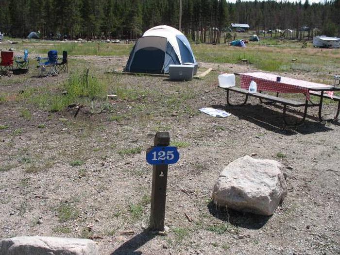
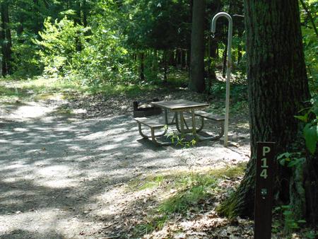
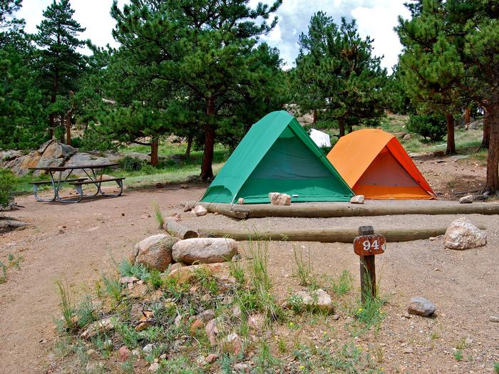
Reserve your campsite at these camping areas:
Hiking Trails
Looking for nice hiking areas to take a hike? Choose from these scenic hiking trails:
Related Link(s)
More California Recreation Areas
Grass Valley covers nearly three-quarters of this area and is the main topographic feature of this wilderness. A series of scattered hills, reddish-brown to yellow in appearance and gently rising to elevations from 200 to 600 feet above the desert valley floor, lie across the western portion of the area. Vegetation is typical of a creosote bush scrub community with a scattering of Joshua trees. Wildlife values in the wilderness include raptor foraging in and desert tortoise and Mojave ground squirrel habitat.