Directions
Twin Springs Access: Four-wheel drive vehicle is required. From Highway 93 north of Kingman, turn west onto Highway 68. Follow Highway 68 to Estrella Rd. Follow Estrella Rd south for 4.7 miles to Shinarump Dr. Turn right onto Shinarump Dr and proceed 0.5 miles to Kaibab Rd. Turn left (south) on Kaibab Rd and proceed 2.4 miles to a jeep trail on your right. Turn right on this jeep trail and proceed about one mile, following the wilderness boundary, to trailhead parking.
Cave Spring Access: From Kingman, follow Highway 93 north to Highway 68. Turn west onto Highway 68 and follow it approximately 9 miles to Estrella Rd. Head south on Estrella Rd for 4.7 miles to Shinarump Dr. Turn right onto Shinarump Dr and proceed 2.0 miles to Guthrie Rd. Turn right on Guthrie Rd and park at the small rock-lined parking area on your left. Access can be made with any type vehicle.
Phone
(928) 718-3700
Activities
CAMPING, HIKING, WILDLIFE VIEWING, WILDERNESS, PHOTOGRAPHY
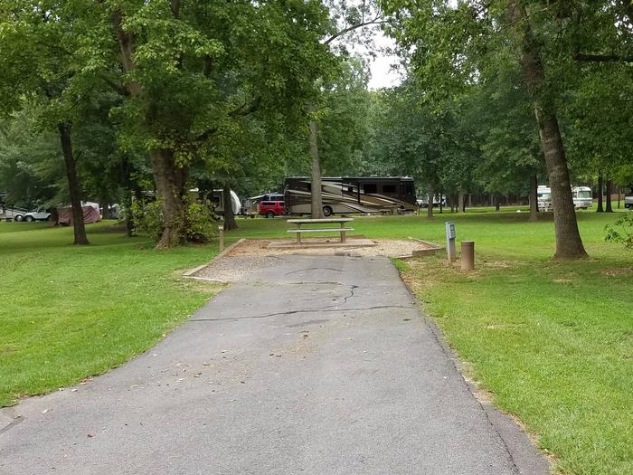
Camping Reservations
Reserve your campsite at these camping areas:
Hiking Trails
Looking for nice hiking areas to take a hike? Choose from these scenic hiking trails:
Related Link(s)
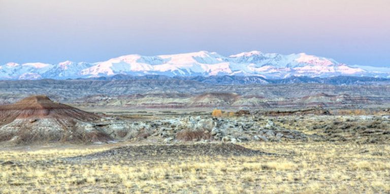
The Mount Nutt Wilderness (28,080 acres) is located in Mohave County, 15 miles west of Kingman, Arizona and 12 miles east of Bullhead City, Arizona. This wilderness encompasses an eight-mile-long stretch of the central (and highest) portion of the Black Mountains. Nutt Mountain, at 5,216 feet, presides over a colorful and wild terrain. Along the main ridgeline, prominent mesas have been cut into a series of steep maze-like canyons. Outward from the main ridgeline, numerous huge volcanic plugs ring the entire wilderness.
This wilderness is home to desert bighorn sheep. Scattered springs sustain small oases of large cottonwoods, willows, and oaks. Hiking, camping, hunting, photography, and rock scrambling opportunities are varied and challenging.
Know Before You Go
- Motorized equipment and equipment used for mechanical transport are generally prohibited on all federal lands designated as wilderness. This includes the use of motor vehicles (including OHVs), motorboats, bicycles, hang gliders, wagons, carts, portage wheels, and the landing of aircraft including helicopters Contact the agency for more information about regulations.
- The summer climate in this wilderness unit is harsh. Daytime temperatures during the summer months are over 100 degrees. Temperatures are more moderate between October 1 and April 30th.
- The terrain in Mount Nutt Wilderness is extremely rugged. A few old vehicle ways provide hiking routes in some places, but the most commonly used routes are the sand washes which dissect the area. Bighorn sheep and burro trails can often be located and followed on uplands.
- Water is relatively scarce in this unit. Pack all water needed for a trip and purify any water found in the wilderness.
- Some lands around and within the wilderness are not federally administered. Please respect the property rights of the owners and do not cross or use these lands without their permission.