Directions
To reach WSA from the south, take State Hwy 431 out of Worland about 25 miles. Turn north (right) onto the Murphy Draw Road (BLM Road 1302) and continue about 7.7 miles. Turn east (right) onto Squaw Teats Road (BLM Road 1301) and go 2.6 miles. Look for primitive route to the north to reach Bobcat Draw Badlands WSA in 1.25 miles. If travelling from Meeteetse, take State Highway 120 south for 9.1 miles. Turn east (left) onto Squaw Teats Road (BLM Road 1301) for 14.25 miles. Look for a primitive route to the north reach Bobcat Draw Badlands WSA in 1.25 miles. From the north of Worland take Fifteen Mile Road (BLM Road 1429). After travelling approximately 33 miles you will reach the northern border of Bobcat Draw Badlands WSA.
Phone
307-347-5100
Activities
BIKING, CAMPING, HIKING, HORSEBACK RIDING, HUNTING, WILDLIFE VIEWING, PHOTOGRAPHY
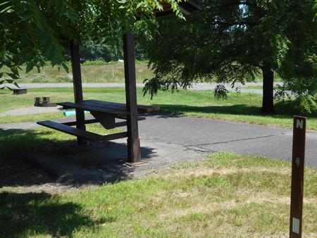
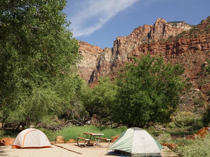
Camping Reservations
Reserve your campsite at these camping areas:
Hiking Trails
Looking for nice hiking areas to take a hike? Choose from these scenic hiking trails:
Related Link(s)
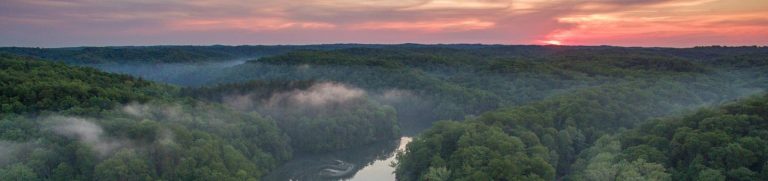
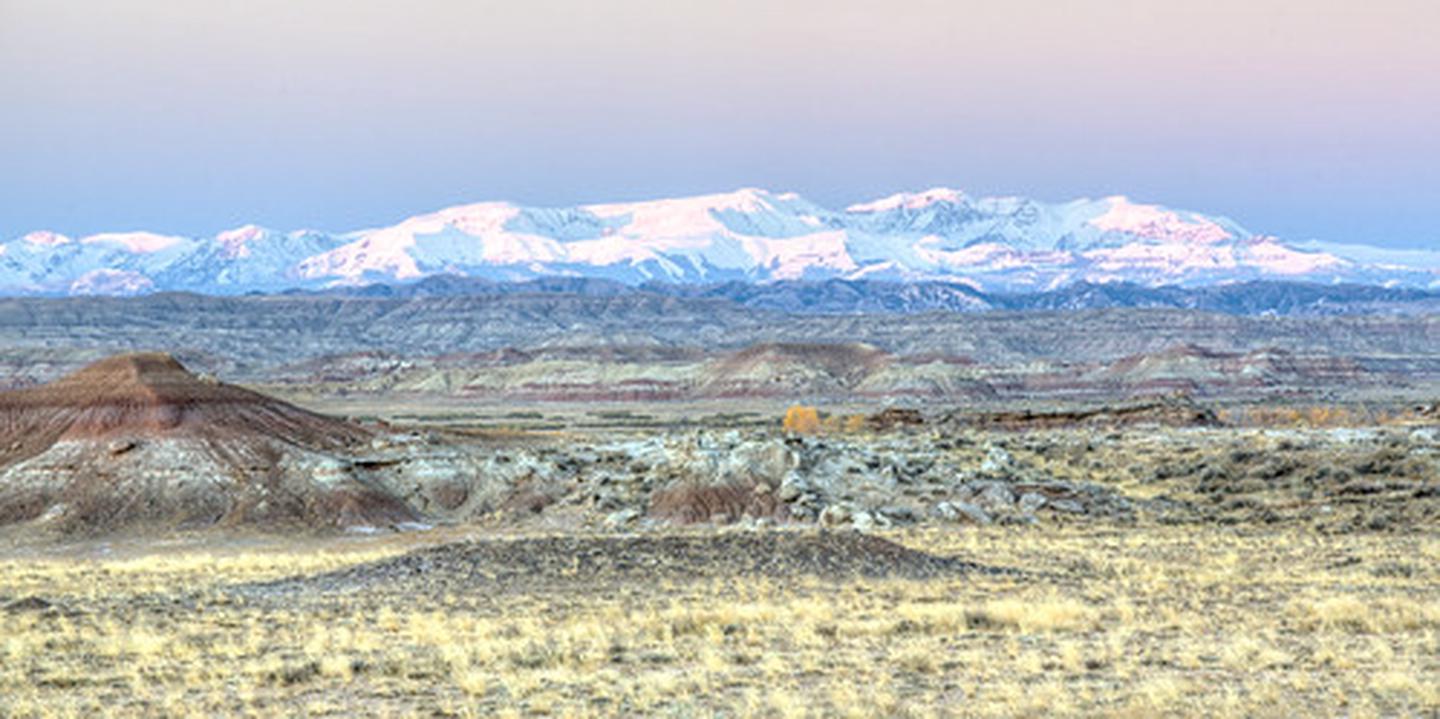
The Bobcat Draw Badlands WSA encompasses 17,150 acres of BLM-administered land and 1,390 acres of state land. The WSA offers special features and scenic beauty which are outstanding. Terrain in the unit is highly unique and variable in land form and color.
Located in the Willwood geologic formation, it is famous for a Devil’s Garden of arches, goblins, castles and other fantastic or fanciful landforms.
The WSA in within the Fifteenmile Wild Horse Herd Management Area. The National Park Service has identified the Gooseberry Badlands and the east ridge of Fifteenmile Creek, located near the WSA, as potential National Natural Landmarks. The Bobcat Draw Badlands WSA, in combination with its size, varied and rugged topography, diversity of landscape and scenic attributes, contains outstanding opportunities for primitive and unconfined types of recreation.
The badland setting provides outstanding hiking, exploring and freedom of movement opportunities. Rock collecting, wildlife viewing, hiking, hunting, horseback riding, non-consumptive wildlife use, photography and geological sightseeing are activities which occur in this WSA.