Directions
The Wilderness is located in western Humboldt County. The best access to the Wilderness is located along the maintained Jackson Creek Road on the western boundary and the Trout Creek Road along the eastern boundary.
Phone
775-623-1500
Activities
CLIMBING, HISTORIC & CULTURAL SITE, CAMPING, HIKING, HORSEBACK RIDING, HUNTING, PICNICKING, WILDLIFE VIEWING, WILDERNESS
Camping Reservations
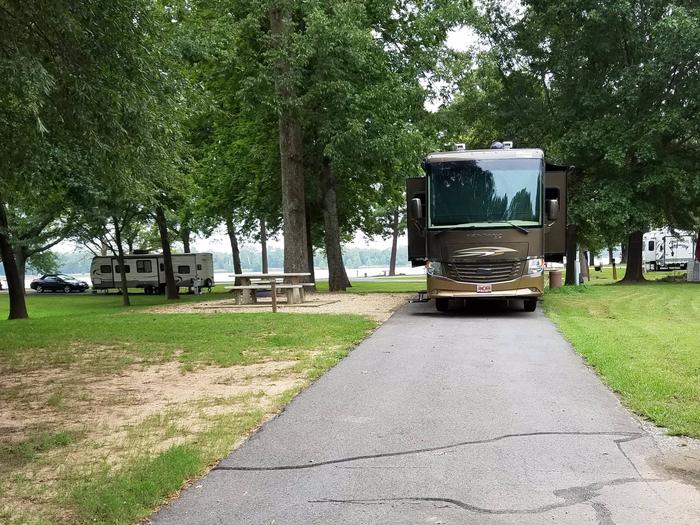
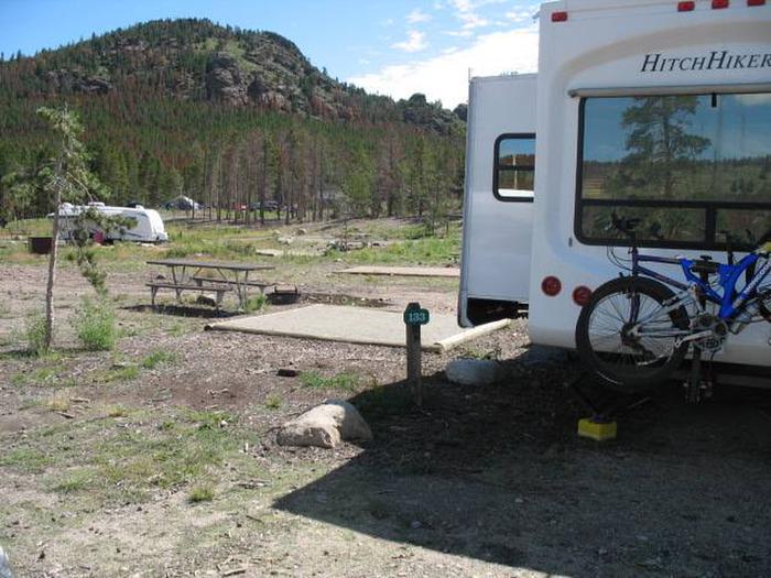
Reserve your campsite at these camping areas:
Hiking Trails
Looking for nice hiking areas to take a hike? Choose from these scenic hiking trails:
Related Link(s)
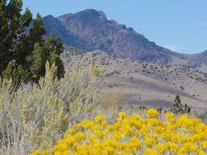
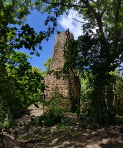
The South Jackson Mountains Wilderness (54,536 acres) is a special place, from the looming presence of King Lear Peak’s granite rock formations, to the juniper woodlands and rugged canyons of cottonwoods that block out the outside world and significantly enhance the opportunity for solitude. The west-facing side of the South Jackson provides many interesting and rugged canyons on the hike to the summit of 8,923 ft King Lear Peak. Nearly all these canyons are accessible from lower elevations in close proximity of the west boundary road. King Lear Peak is a popular destination and provides opportunities for both rock scrambling and technical climbing and is mentioned in several guidebooks for the Great Basin. The Red Butte mining district still contains ample evidence of past mining activities, including several historic cabins hidden amongst the juniper woodlands, which are easily accessible to both equestrian and hikers along Bull Creek.
Stands of Utah juniper, groves of aspen along mountain streams, and the overshadowing presence of King Lear Peak provide exceptional scenic quality. Expansive vistas abound from the numerous peaks within this wilderness areaproviding views of the Black Rock Desert Wilderness and numerous mountain ranges visible on clear days for over one hundred miles into the distance. Wildlife species you could encounter include California Big Horn Sheep, mule deer, prong horn antelope, mountain lion, coyote, rabbit, bobcat, and upland game birds.
Please follow the regulations and practice Leave No Trace / TreadLightly! principles when visiting to protect the unique natural and experiential qualities of this special area.
Motorized equipment and equipment used for mechanical transport are prohibited. This includes the use of motor vehicles (including OHVs), motorized equipment, bicycles, hang gliders, wagons, carts, portage wheels, and the landing of aircraft including helicopters. Contact the agency for more information about regulations.


