Directions
From Blythe, CA: Drive approximately 3 miles west on I-10 to Neighbours Boulevard/78 exit. Travel south on Neighbours for 12 miles to the Cibola Bridge. After crossing the bridge, continue south for 3.5 miles to headquarters.
Phone
928-857-3253
Activities
AUTO TOURING, BOATING, INTERPRETIVE PROGRAMS, FISHING, HIKING, HUNTING, VISITOR CENTER, WILDLIFE VIEWING
Camping Reservations
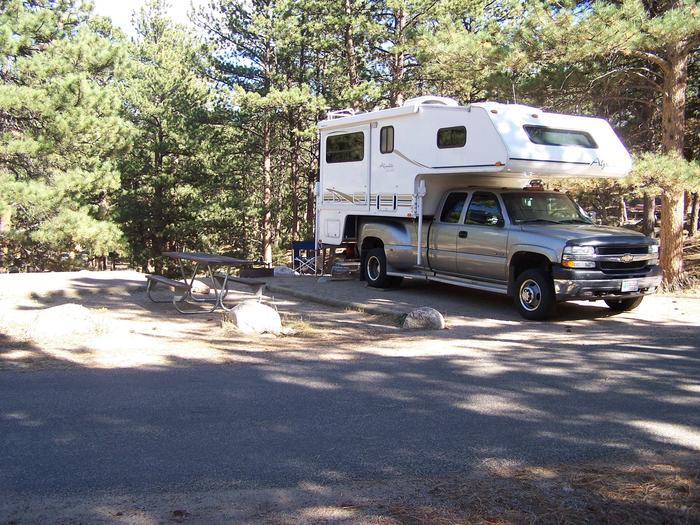
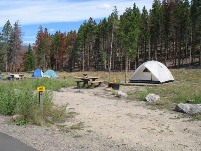
Reserve your campsite at these camping areas:
Hiking Trails
Looking for nice hiking areas to take a hike? Choose from these scenic hiking trails:
Related Link(s)
Cibola National Wildlife Refuge
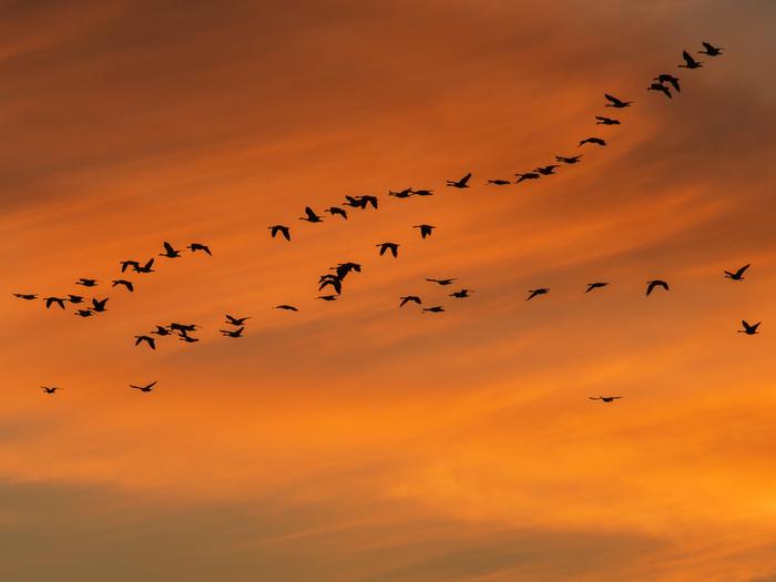
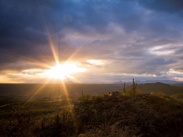
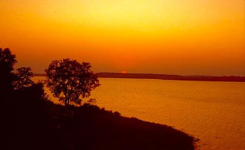
Cibola NWR is located in the floodplain of the lower Colorado River and surrounded by a fringe of desert ridges and washes. The refuge encompasses both the historic Colorado River channel as well as a channelized portion constructed in the late 1960’s. Along with these main waterbodies, several important backwaters are home to many wildlife species that reside in this portion of the Sonoran Desert. Because of the river’s life sustaining water, wildlife here survive in an environment that reaches 120 degrees in the summer and receives an average of only 2 inches of rain per year. We invite you to visit and enjoy the many wildlife-oriented activities the refuge has to offer and enjoy the scenic beauty of this oasis in the desert.

