Directions
Hole in the Wall Trails (south)
From Interstate 40, drive NM 117 south approximately 34 miles to CR 42. Drive northwest on CR 42 approximately 2 1/4 miles to the intersection with a road (a West Malpais Wilderness sign is located at this intersection). Turn right (north) and drive approximately 4.4 miles to a locked gate, which is the trailhead for the Hole in the Wall. Note that at 3 1/2 miles you will encounter an intersection with a road leading to the right which looks better maintained. This road leads to a private residence and only authorized vehicles are allowed on it.
Hole in the Wall Trails (north)
From Interstate 40, drive NM 53 south approximately 26 miles to CR 42. Drive CR 43 approximately 4 1/2 miles to the Big Tubes Road. Drive this road 3.3 miles (passing the Big Tubes parking area at 2 3/4 miles, on the left) and take the left fork. Continue 1 1/4 miles and take the right fork just past a stock pond at the western edge of the lava flow. Continue 0.4 miles to the southeast and take the left fork, heading east. Continue 5.4 miles (crossing a cattle guard at .2 miles and entering the forested area at 1 3/4 miles) to the Cerro Encierro trailhead. Note that this is a very rough road and that the road and trailhead are located on National Park Service lands.
Continental Divide National Scenic Trail (CDNST) (east)
The CDNST passes through the southern portion of the Wilderness. To reach the east side of the trail, from Interstate 40, drive NM 117 south approximately 34 miles to CR 42. Drive northwest on CR 42 approximately 2 1/4 miles to the intersection with a road (a West Malpais Wilderness sign is located at this intersection). Turn right (north) and drive approximately 1/2 mile to a point at which the CDNST crosses the road.
Continental Divide National Scenic Trail (west)
The CDNST passes through the southern portion of the Wilderness. From Interstate 40, drive NM 53 south approximately 26 miles to CR 42. Drive CR 42 approximately 22 1/2 miles to a trailhead on the south side of the road. The trailhead is on the opposite side of the road from the Wilderness
Phone
505-761-8700
Activities
CAMPING, HIKING, HORSEBACK RIDING, WILDLIFE VIEWING, WILDERNESS
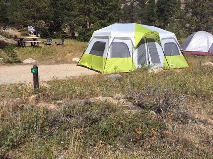
Camping Reservations
Reserve your campsite at these camping areas:
Hiking Trails
Looking for nice hiking areas to take a hike? Choose from these scenic hiking trails:
Related Link(s)
More New Mexico Recreation Areas
BLM New Mexico YouTube Channel
BLM New Mexico YouTube Channel
The West Malpais Wilderness is a landscape of volcanic lava flows, mostly flat, and encompasses three main ecotypes. The southeastern portion of the wilderness is a grassland with wide open expansive views. The western area is a piÑon-juniper woodland. Ponderosa pine is prevalent in the northern portion of the Wilderness. The most distinctive landform within the West Malpais Wilderness is a 6,700-acre kipuka (a Hawaiian term meaning island of fertile ground) in the north part of the wilderness called Hole-In-The-Wall. Ponderosa pines are sprinkled through the grassland of the kipuka, which is ringed by a sea of broken, jagged basalt where ponderosa are plentiful. The Wilderness is located within the El Malpais National Conservation Area.