Directions
Take Exit 35 off Interstate 84. Go north 1/2 mile to Karcher Road. Turn left and go west 3 miles to Lake Avenue. Turn left and go south 3 miles to the Upper Dam. Cross the dam to the refuge Visitor Center. View a map with detailed driving directions.
Phone
208-467-9278
Activities
BOATING, INTERPRETIVE PROGRAMS, FISHING, HIKING, HUNTING, VISITOR CENTER
Camping Reservations
Reserve your campsite at these camping areas:
Hiking Trails
Looking for nice hiking areas to take a hike? Choose from these scenic hiking trails:
Related Link(s)
Deer Flat National Wildlife Refuge
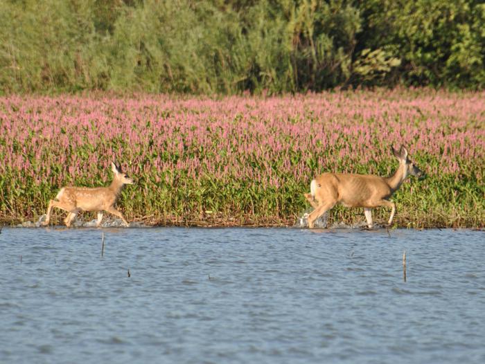
Deer Flat National Wildlife Refuge, established in 1909, is one of the nation’s oldest refuges. Located southwest of Boise, Idaho, the refuge includes the Lake Lowell sector (10,588 acres) and the Snake River Islands sector (about 800 acres). Lake Lowell is an irrigation project reservoir that provides an oasis for wildlife in this arid region. The late-summer drawdown of the lake reveals mud flats that provide food for a variety of resident and migratory wildlife. Historic wintering waterfowl populations averaged over 300,000 birds. This number has now declined to near 100,000. The Snake River Islands (101 islands along 113 miles of river) provide a “diversity of habitats” from small wetlands to sagebrush uplands. Several islands house heron rookeries and gull colonies, and provide feeding and resting spots for migratory birds. The refuge is popular with the public. Each year, more than 100,000 people visit to hunt, fish, photograph and view wildlife, learn about natural resources through displays and programs at the visitor center, and walk the nature trail.


