Directions
To refuge headquarters and visitor center (Fremont): From Highway 84 (at the east end of the Dumbarton Bridge), exit at Thornton Avenue. Travel south on Thornton for half a mile to the refuge entrance. Turn right at the refuge entrance sign and follow Marshlands Road to the stop sign. Turn left into the parking lot. To environmental education center (Alviso-San Jose): From Interstate 880 or Highway 101, exit on Highway 237 toward Alviso. Turn north on Zanker Road. Continue on Zanker, which turns into Los Esteros after a road bend, to the environmental education center entrance (a sharp right turn at Grand Boulevard), approximately 2.1 miles from Highway 237.
Phone
510-792-0222
Activities
BOATING, INTERPRETIVE PROGRAMS, FISHING, HIKING, HUNTING, VISITOR CENTER, WILDLIFE VIEWING, ENVIRONMENTAL EDUCATION, PHOTOGRAPHY
Camping Reservations
Reserve your campsite at these camping areas:
Hiking Trails
Looking for nice hiking areas to take a hike? Choose from these scenic hiking trails:
Related Link(s)
More California Recreation Areas
Don Edwards San Francisco Bay National Wildlife Refuge
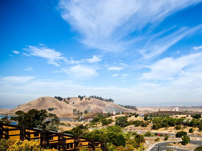
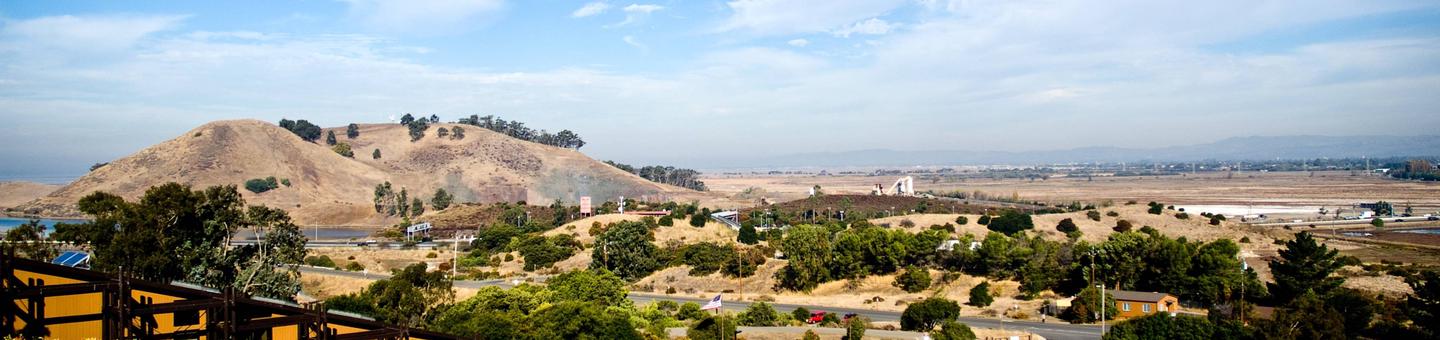
The Don Edwards San Francisco Bay National Wildlife Refuge is located in south San Francisco Bay, California. One of the largest urban refuges in the United States, it is an island of wildlife habitat in a burgeoning metropolitan area of 7 million people. The refuge consists primarily of tidal marsh, salt ponds, mud flats, and seasonal wetlands acting as a keystone to the preservation of the biological and physical integrity of San Francisco Bay. The refuge provides habitat for nine species of Federally-listed threatened or endangered species and is home to 227 species of birds, including 8 percent of the world population of the western snowy plover. It protects 60 percent of the world’s population of California clapper rail, as well as a substantial number of salt marsh harvest mouse, both found only in the remaining tidal marshes of San Francisco Bay. Wintering waterfowl make extensive use of the area, averaging 45,000-75,000 each winter. More than 500,000 shorebirds make use of the mud flats and salt ponds. Globally significant numbers of at least eight species of shorebirds visit this refuge during migration. Nearly 700,000 people visit the refuge each year, including 10,000 school children, teachers, and parents, who take part in the refuge’s nationally recognized environmental education programs. The refuge provides wildlife-oriented recreation opportunities at its Fremont Visitor Center, Alviso Environmental Education Center, over 30 miles of hiking trails, and its accessible fishing pier that extends into San Francisco Bay.