Directions
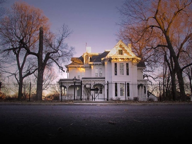
The Visitor Center is located at the intersection of Truman Road and Main Street, in Historic Fire Station No.1. From the north or south, take I-435 to Truman Road (State Hwy 12), exit 60. Travel east on Truman Road three miles; you’ll pass the Truman Home at Delaware Street. From the east or west, take I-70 to the Noland Road exit (12). Travel north on Noland Road four miles to Truman Road. Turn west on Truman Road and travel two blocks. The Truman Home is five blocks to the west of the visitor center.
Phone
(816) 254-2720
Camping Reservations
Reserve your campsite at these camping areas:
Hiking Trails
Looking for nice hiking areas to take a hike? Choose from these scenic hiking trails:
Related Link(s)
More Missouri Recreation Areas
Harry S Truman National Historic Site Official Website
Harry S Truman National Historic Site Map
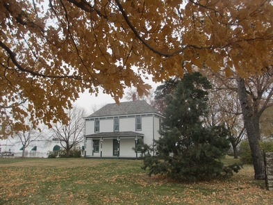
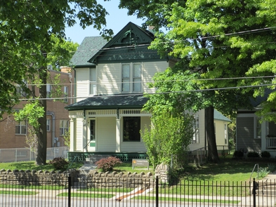
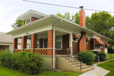
President Harry S Truman took America from its traditional isolationism into the age of international involvement. Despite his power, he never forgot where he came from. Today, visitors can experience the surroundings Truman knew as a young man of modest ambition through his political career and final years as a former president.

