Directions
Harris Neck NWR is located in McIntosh County, Georgia, 5 miles north of Eulonia and 50 air miles south of the port city of Savannah. To reach Harris Neck, take Exit 67 off I-95 and travel south on U.S. 17 for approximately one mile, then east on Harris Neck Road for seven miles to the main entrance gate.
Phone
912-832-4608
Activities
AUTO TOURING, BIKING, INTERPRETIVE PROGRAMS, FISHING, HIKING, HUNTING, WILDLIFE VIEWING, ENVIRONMENTAL EDUCATION, PHOTOGRAPHY
Camping Reservations
Reserve your campsite at these camping areas:
Hiking Trails
Looking for nice hiking areas to take a hike? Choose from these scenic hiking trails:
Related Link(s)
Harris Neck National Wildlife Refuge
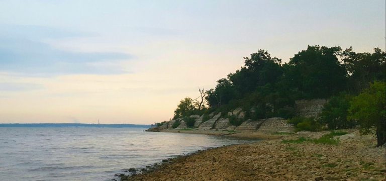
Harris Neck NWR was established in 1962 by transfer of federal lands formerly managed by the Federal Aviation Administration as a WWII Army airfield. Located in McIntosh County, Georgia, the refuge serves as an important link in the chain of refuges along the Atlantic seaboard, and is the inland base for two neighboring barrier island refuges, Blackbeard Island and Wolf Island refuges, both located southeast of Harris Neck. Harris Neck’s 2,762 acres consists of saltwater marsh, grassland, mixed deciduous woods, and cropland. Because of this great variety in habitat, many different species of birds are attracted to the refuge throughout the year. In the summer, thousands of egrets and herons nest in the swamps, while in the winter, large concentrations of ducks (especially mallards, gadwall and teal) gather in the marshland and freshwater pools. Over 15 miles of paved roads and trails provide the visitor easy access to the many different habitats. Chosen for it’s accessibility and bird diversity, Harris Neck is one of 18 sites forming the Colonial Coast Birding Trail, inaugurated in 2000.


