Directions
The Refuge headquarters is 2 miles north of Upham, North Dakota, and can be reached by turning off U.S. Highway 2 at Towner and proceeding 26 miles north on State Highway 14.
Phone
701-768-2548
Activities
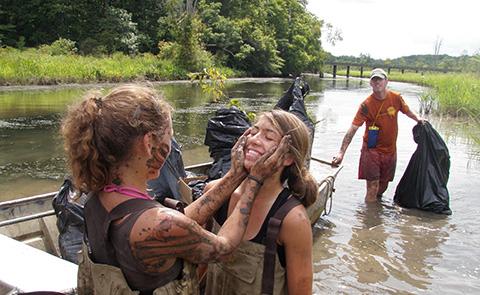
AUTO TOURING, BOATING, HISTORIC & CULTURAL SITE, INTERPRETIVE PROGRAMS, FISHING, HIKING, HUNTING, WINTER SPORTS, WILDLIFE VIEWING, ENVIRONMENTAL EDUCATION, PHOTOGRAPHY, PADDLING
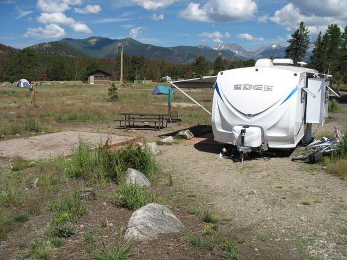
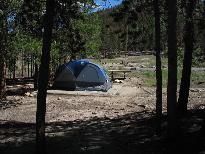
Camping Reservations
Reserve your campsite at these camping areas:
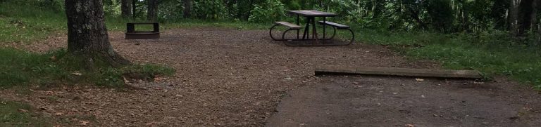
Hiking Trails
Looking for nice hiking areas to take a hike? Choose from these scenic hiking trails:
Related Link(s)
More North Dakota Recreation Areas
J. Clark Salyer National Wildlife Refuge
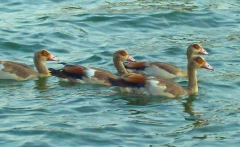
J. Clark Salyer National Wildlife Refuge (NWR) is located along the Souris River in Bottineau and McHenry counties in north-central North Dakota. The 58,693-acre Refuge extends from the Manitoba border southward for approximately 45 miles in an area which was once Glacial Lake Souris. The area is old lake bottom and has extremely flat topography and a high density of temporary wetlands. The Souris River originates in southern Saskatchewan, flows southwest to Velva, North Dakota, and then generally north to join the Assiniboine River in southern Manitoba. The United States portion of the river is 358 miles long and has a drainage basin of 9,000 square miles; 371 miles of river and 15,000 square miles of the basin are in Canada. Approximately 75 miles of the Souris River are within the boundaries of the Refuge.