Directions
Access the east side of Dominguez-Escalante NCA via Bridgeport Bridge: from Grand Junction, travel south on US-50, past Whitewater and Bridgeport Road. Access the north side via Dominguez Campground: from Grand Junction, travel south US-50. At Whitewater, turn right onto Highway 141 and continue to the Tabeguache Trail turnoff. Access the south side: from Delta, travel west on Highway 348 and turn right onto 25 Mesa Road/D Road.
Phone
970-244-3000
Activities
AUTO TOURING, BIKING, CAMPING, FISHING, HIKING, HORSEBACK RIDING, HUNTING, WATER SPORTS, WILDLIFE VIEWING, PHOTOGRAPHY
Camping Reservations
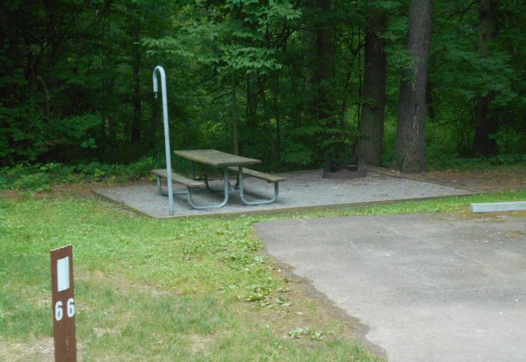
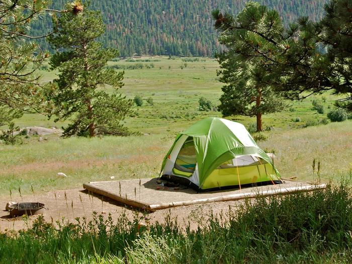
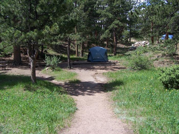
Reserve your campsite at these camping areas:
Hiking Trails
Looking for nice hiking areas to take a hike? Choose from these scenic hiking trails:
Related Link(s)
More Colorado Recreation Areas
Congressionally designated in 2009 for its distinctive canyon country, the Dominquez-Escalante National Conservation Area includes the remote Dominguez Canyon Wilderness, recreation along the Gunnison River, and a network of off-highway vehicle trails. The conservation area allows for a wide variety of activities including hiking, boating and wildlife viewing. The area also provides excellent heritage tourism opportunities, and the rugged canyons and bluffs here hold geological and paleontological resources spanning 1.4 billion years. For overnight stays, the Big Dominguez and Potholes campgrounds are available.


