Directions
Coming from the North: Follow US-51S to WI-34S in Knowlton. Follow WI-34S/State Hwy 13S towards Hanson Park in Wisconsin Rapids. The exit for Hanson Park is on the right.
Coming from the South: Follow I-39N, also known as I-90W/I-94W, towards Plainfield. Take exit 136 for WI-73N/ State Hwy 13N towards Wisconsin Rapids. Follow State Hwy 13N towards Hanson Park in Wisconsin Rapids. The exit for Hanson Park is on the left.
Phone
414-297-4400
Activities
CAMPING, FISHING, WATER SPORTS, WILDLIFE VIEWING, ENVIRONMENTAL EDUCATION, PHOTOGRAPHY, SNORKELING
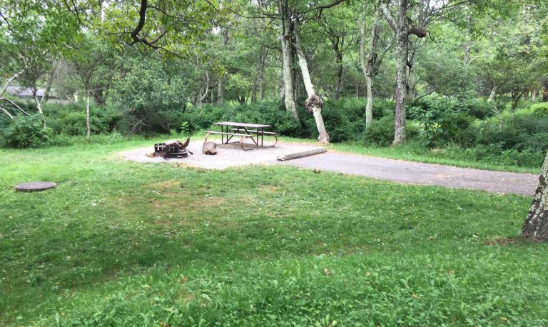
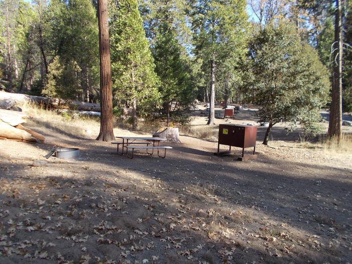
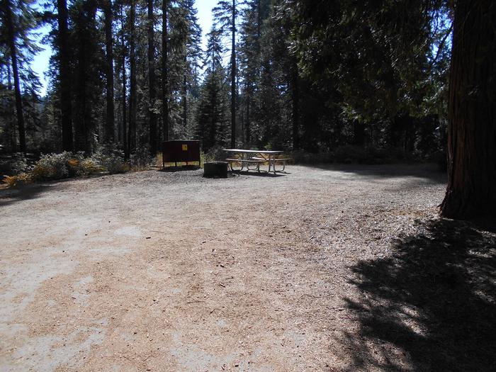
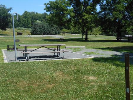
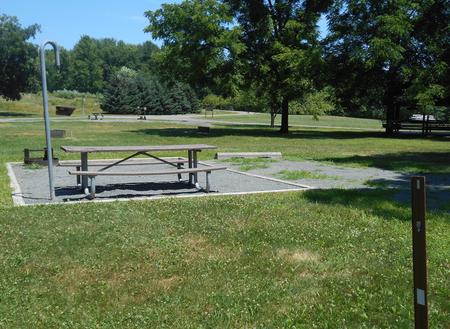
Camping Reservations
Reserve your campsite at these camping areas:
Hiking Trails
Looking for nice hiking areas to take a hike? Choose from these scenic hiking trails:
Related Link(s)
More Wisconsin Recreation Areas
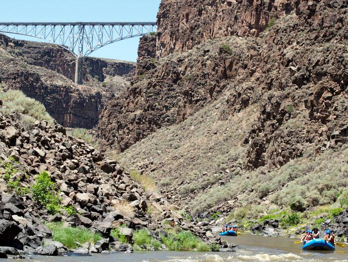
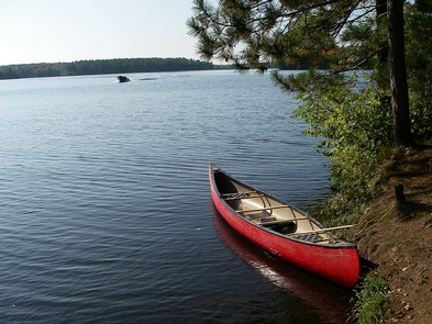
Wisconsin, famed for its 84,000 miles of rivers that meander through varying terrain and its 15,000 lakes, is full of places to paddle, float, and fish. Many islands in this region were omitted from the original land surveys conducted in the 1830s and 1840s. Because of this, there is a mixing of ownership between state-owned, privately owned islands. For those under federal management, the BLM administers to almost 500 islands throughout the area. Because of this varied ownership, it’s critical that visitors determine whether an island is public land before using it.
The flowages between Stevens Point and Nekoosa are chock-full of more than 60 public islands, ranging from small, low patches of willows and alder, to large stands of mixed pines and hardwoods. Below Castle Rock Lake, the islands down to Prairie du Sac are mostly floodplain forests with broad sandbars that invite paddler-campers. A few of these islands have remnant prairie and savanna vegetation.
Many public islands are perfect fishing spots, lunch stops for your next float trip, or overnight campsites. However, there are no visitor services at any of these locations; as such, it is important to plan accordingly. If you have any questions about visiting the islands, please call (414) 297-4400.
Would you like to volunteer as a BLM public island steward? Contact Derek Strohl, dstrohl@blm.gov