Directions
From I- 40 (about 6 miles east of Grants, NM) exit on NM 117. Drive south approximately 26 miles, and turn left onto Cebolla Canyon Road. In about 2 miles, this road becomes the western border of the WSA for approximately 1Ð… miles up to the intersection with Sand Canyon Road. Turning right on Sand Canyon Road, the WSA is on both sides of the road for approximately 2 miles at which point the boundary of the Cebolla Wilderness is reached.
Phone
505-761-8700
Activities
HIKING
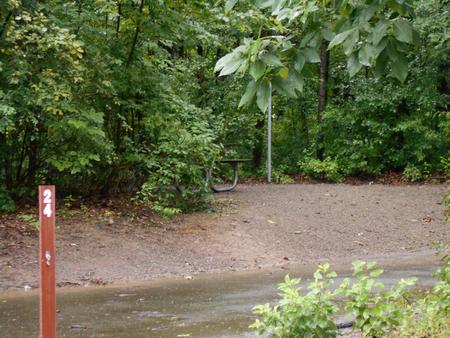
Camping Reservations
Reserve your campsite at these camping areas:
Hiking Trails
Looking for nice hiking areas to take a hike? Choose from these scenic hiking trails:
Related Link(s)
More New Mexico Recreation Areas
BLM New Mexico YouTube Channel
BLM New Mexico YouTube Channel
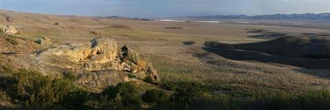
This WSA is made up of sagebrush flats and pinyon covered sandstone hills. This area is under consideration for addition to the Cebolla Wilderness. Please see the Cebolla Wilderness webpage for more information.