Directions
From I-25 (approximately 34 miles south of Socorro and 24 miles south of San Antonio), take exit 115 (Highway 107) then turn left on Hwy 107 and drive over the Interstate to turn left onto Highway 1. Drive northeast for about 4 miles and turn left on King™s Highway Rd / County Road 124 / A40. King™s Hwy passes immediately under the freeway (taking a couple of jogs within the first 1/2 mile), then straightens to the northwest. Drive for about 6 miles and turn right onto a unmarked road that leads northeast. Drive for approximately 2 Ñ• miles and veer left (northwest) and continue for about 1 Ñ• mile to a gate. From this point, hike west on a 2-track route for about Ð… mile to the southeast corner of the WSA.
Phone
575-835-0412
Activities
HIKING, WILDLIFE VIEWING
Camping Reservations
Reserve your campsite at these camping areas:
Hiking Trails
Looking for nice hiking areas to take a hike? Choose from these scenic hiking trails:
Related Link(s)
More New Mexico Recreation Areas
BLM New Mexico YouTube Channel
BLM New Mexico YouTube Channel
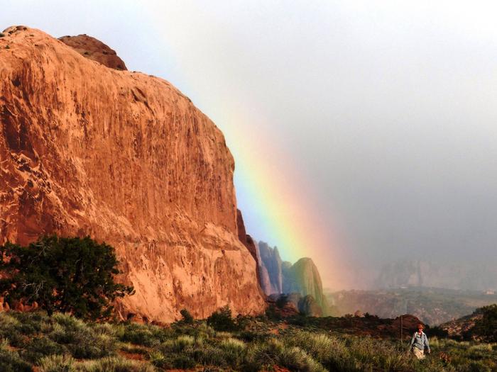
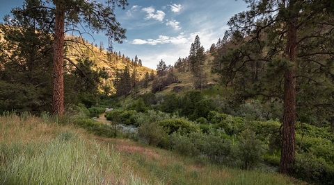
The Devil’s Backbone WSA is characterized by its knife-edged ridges and peaks rising above the surrounding desert grassland. The north contains piÑon-juniper while the south is comprised of rocky grasslands. A great number of raptors, including one pair of golden eagles, nests in the area. Mountains lions are also seen on occasion.

