Directions
From Highway 60, drive approximately 20 miles west of Quemado to County Road A7/McKinley Ranch Road. Highway road signs at the intersection indicate a road to the town of Luna (County Road B7) to the south. Turn north (right) on County Road A7/McKinley Ranch Road which is immediately opposite of the road to Luna and drive north for approximately 2.8 miles. From this point, the WSA will be on your right for approximately 1.2 miles.
Phone
575-835-0412
Activities
HIKING
Camping Reservations
Reserve your campsite at these camping areas:
Hiking Trails
Looking for nice hiking areas to take a hike? Choose from these scenic hiking trails:
Related Link(s)
More New Mexico Recreation Areas
BLM New Mexico YouTube Channel
BLM New Mexico YouTube Channel
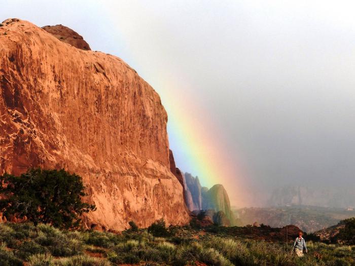
The Eagle Peak WSA is located in western New Mexico. It is characterized by rolling topography and broken by sandstone and basalt mesas and canyons. Volcanic features include large cinder cones and lava flows. Vegetation consists of grassland and piÑon-juniper woodland.