Directions
From Roswell, travel east on US 380 about 41 miles to a highway rest stop (about 31 miles west of Tatum). Opposite the rest stop on the north side of the highway is a caliche surface road (Mathers Road). Travel north on that road about four miles to the edge of the WSA on the west side of the road. Look for a monument indicating the Mathers National Natural Landmark.
Phone
575-627-0272
Activities
HIKING
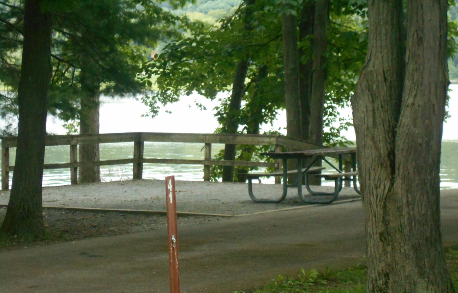
Camping Reservations
Reserve your campsite at these camping areas:
Hiking Trails
Looking for nice hiking areas to take a hike? Choose from these scenic hiking trails:
Related Link(s)
More New Mexico Recreation Areas
BLM New Mexico YouTube Channel
BLM New Mexico YouTube Channel
The Mathers WSA is located in eastern New Mexico, about 40 miles east of Roswell. The area is on the edge of the southern part of the Great Plains and at the northern end of a 6-10 mile wide belt of sand dunes stabilized by shinnery oak, a low growing shrub. The area provides critical habitat for the dunes sagebrush lizard and lesser prairie chicken; the latter can be observed displaying in leks during mating season.