Directions
From Highway 60, drive approximately 20 miles west of Quemado to County Road A7/McKinley Ranch Road. Highway road signs at the intersection indicate a road to the town of Luna (County Road B7) to the south. Turn north (right) on County Road A7/McKinley Ranch Road which is immediately opposite of the road to Luna and drive north for approximately 6.5 miles. From this point, the WSA’s eastern edge will be on your left for approximately 7.5 miles (the road twice passes through private property with ranch houses, please do not trespass on private property).
Phone
575-835-0412
Activities
HIKING
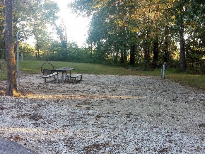
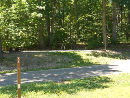
Camping Reservations
Reserve your campsite at these camping areas:
Hiking Trails
Looking for nice hiking areas to take a hike? Choose from these scenic hiking trails:
Related Link(s)
More New Mexico Recreation Areas
BLM New Mexico YouTube Channel
BLM New Mexico YouTube Channel
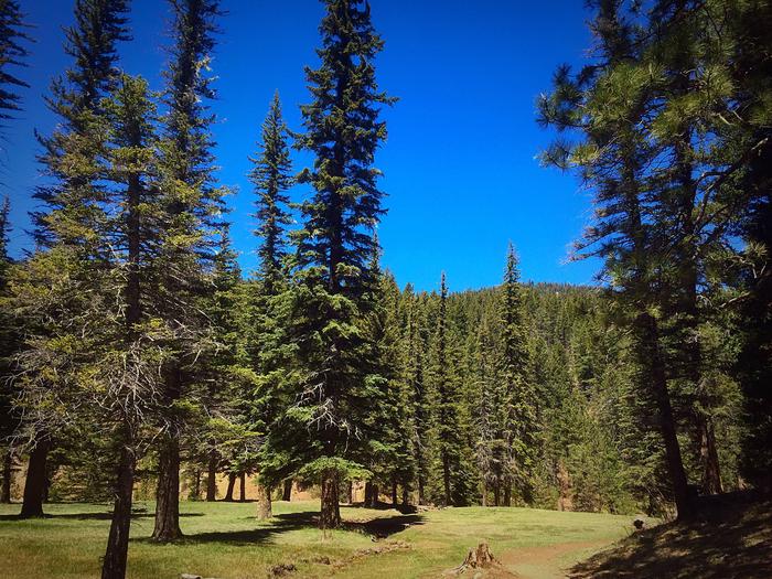
The Mesita Blanca WSA is located in western New Mexico. It is characterized by rolling grasslands broken by isolated sandstone and basalt mesas. Vegetation consists of grasslands and piÑon-juniper woodlands. The 500-foot Red Hill Cinder Cone and lava flow provides a landmark within the WSA.