Directions
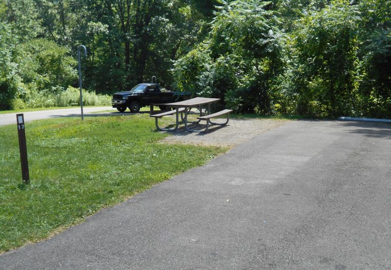
The parking lots are accessed from University Avenue/Dripping Springs Road, just east of the intersection with Sonoma Ranch Road.
Phone
575-525-4300
Activities
BIKING, HIKING, HORSEBACK RIDING
Camping Reservations
Reserve your campsite at these camping areas:
Hiking Trails
Looking for nice hiking areas to take a hike? Choose from these scenic hiking trails:
Related Link(s)
More New Mexico Recreation Areas
BLM New Mexico YouTube Channel
BLM New Mexico YouTube Channel
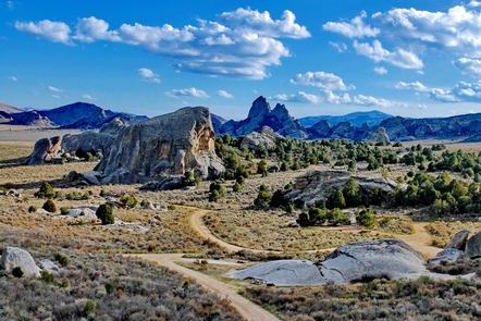
The small, hump-backed Tortugas Mountain rises above the East Mesa to an elevation of 4,928 feet above sea level. Often called “A” Mountain for the New Mexico State University (NMSU) Aggies gigantic “A” etched on the west side of the mountain, a much preferred older name is Tortugas, or “Tortoise” Mountain, because of its resemblance to a turtle (or several turtles ) making their way across the desert – when viewed from the south.
The bike trails are used regularly by nearby residents for short, but quality biking opportunities. The lower trails are a great place for beginners to the sport. As skills are developed, there are more technical routes available as well. Maps are posted at both parking lots.
Tortugas Mountain has long been used for mining, ranching, recreation, tribal ceremonies and scientific studies. The structures visible on top are communication sites and astronomical observatories managed by NMSU. We ask that visitors please keep a reasonable distance from these sites. The eastern side of the Mountain (Monte Vista Parking Area) is managed by the BLM and the western side (Sunset Parking Area) is managed by NMSU. Both entities recognize the many impacts being caused by increasing public use and have joined together to conserve and provide better public use facilities.

