Directions
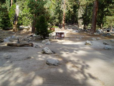
To get to the canyon, take Highway 131 out of Lander for seven miles. Accommodations include campgrounds operated by Sinks Canyon State Park and the USDA Forest Service. Additional information is available at the Sinks Canyon Visitor Center which is open from May through September.
Phone
307-382-8400
Activities
BIKING, CLIMBING, CAMPING, FISHING, HIKING, HORSEBACK RIDING, HUNTING, WINTER SPORTS, WILDLIFE VIEWING, FISH VIEWING SITE, PHOTOGRAPHY
Camping Reservations
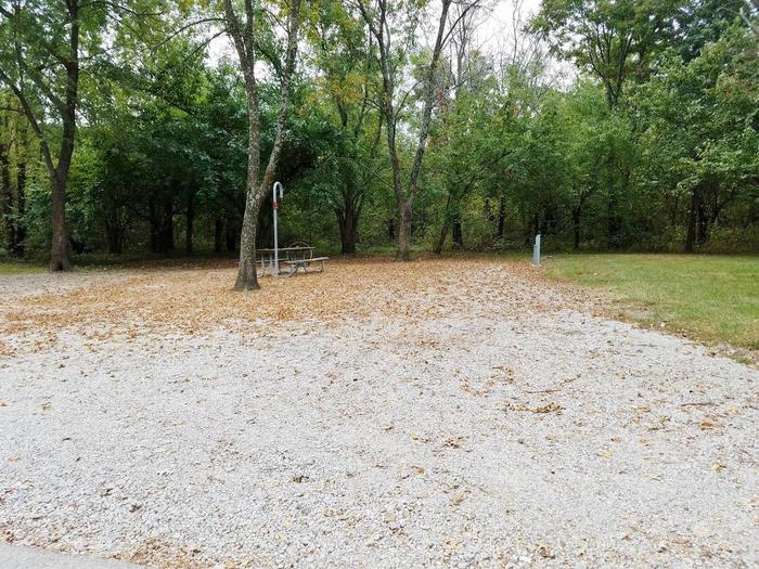
Reserve your campsite at these camping areas:
Hiking Trails
Looking for nice hiking areas to take a hike? Choose from these scenic hiking trails:
Related Link(s)
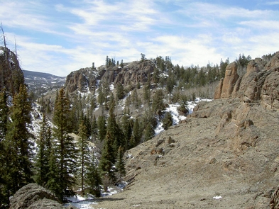
The scenic Sinks Canyon is located near Lander, Wyoming, in the southern Wind River Mountains. It provides a host of outdoor recreation opportunities including three developed campgrounds, a picnic area, several hiking trails, and a snowmobile/ATV trail leading up into the Shoshone National Forest.
The canyon abounds with wildlife–mule deer, bighorn sheep, and wintering moose and elk. Raptors nest in the canyon cliffs. The Middle Fork of the Popo Agie provides great habitat for rainbow trout.
Recreation opportunities include sightseeing, hiking, rock climbing, fishing, picnicking, and hunting. Perhaps the most notable attraction is the Sinks itself, from which the canyon takes its name. At the Sinks, the Popo Agie River literally sinks underground and reappears several hundred yards below at the appropriately-named Rise. One of the canyon’s most popular attractions, a large pool of huge trout, is found at the Rise. You can watch and feed the fish, but fishing is not allowed there.
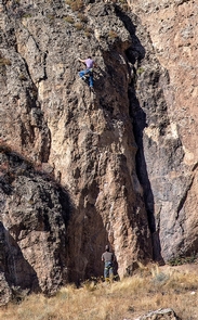
Rock climbers come from around the world to hone their skills on the canyon’s sheer walls of Bighorn dolomite. The walls’ southern exposure means they’re warmed by direct sunlight, providing year-round climbing opportunities. Three hiking trails lead to the base of the cliffs.
Much of the canyon is comprised of public lands, managed by the USDA Forest Service, the Bureau of Land Management, and by the State of Wyoming at Sinks Canyon State Park. Additional information is available at the Sinks Canyon Visitor Center which is open from May through September.

