Directions
From Needles, CA, take I-40 west approx. 10 miles to the U.S. Highway 95 north exit. Exit north and take U.S. Highway 95 approx. 45 miles to NV State Route 164 (Searchlight, NV). Turn left on SR 164 and drive approx. 20 miles to the CA/NV state line. The road turns into Nipton Road. Drive on Nipton Road approx. 15 miles to I-15. Take I-15 west approx. 15 miles to Cima Road. Turn right at the Cime Road exit and take Excelsior Mine/Kingston Road north approx. 10 miles. Stay on Excelsior Mine Road and drive approx. 16 miles to BLM Route NN441. Drive a quarter mile on NN441. A site kiosk will be on your right hand side.
Phone
760-326-7000
Activities
BIKING, CAMPING, HIKING, HORSEBACK RIDING, HUNTING, WILDLIFE VIEWING, ENVIRONMENTAL EDUCATION, PHOTOGRAPHY
Camping Reservations
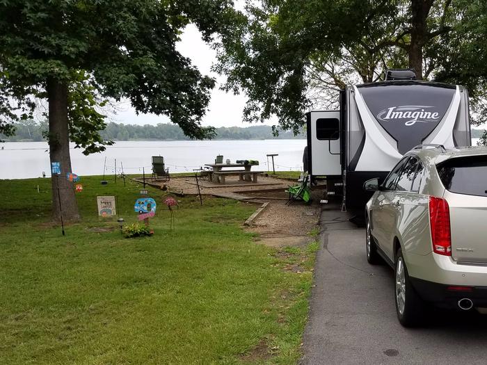
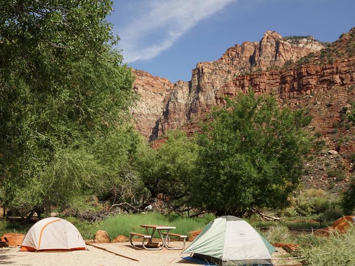
Reserve your campsite at these camping areas:
Hiking Trails
Looking for nice hiking areas to take a hike? Choose from these scenic hiking trails:
Related Link(s)
More California Recreation Areas
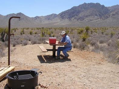
Horse Thief Camp was named by surveyors for the legendary Chief Walkara of band of Ute. Walkara was a skilled hunter and horseman from an early age. Able to speak numerous languages, he proved to be a very skilled negotiator and helped negotiate peace between Utah settlers and Native Americans in 1853. Prior to that, Walkara and a aband of warriors from the Great Basin tribes became famous for their succesful raids on ranches and on travelers on the Old Spanish Trail. This campground is a first-come first-served area, with three single and one double campsite. Tables and fire grates are provided at each campsite. A vault toilet is located in the center of the campground. There is no fire wood or potable water available. Bring a sufficient supply of each for your use.