Directions
From Needles, CA, take U.S. Highway 95 south approx. 35 miles to BLM Route NS660-Pyramid Peak Road. Turn left on NS660 and drive approx. 2 miles. The rock collecting area will be on both sides of the route.
Phone
760-326-7000
Activities
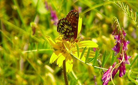
BIKING, CAMPING, HIKING, HORSEBACK RIDING, HUNTING, WILDLIFE VIEWING, PHOTOGRAPHY
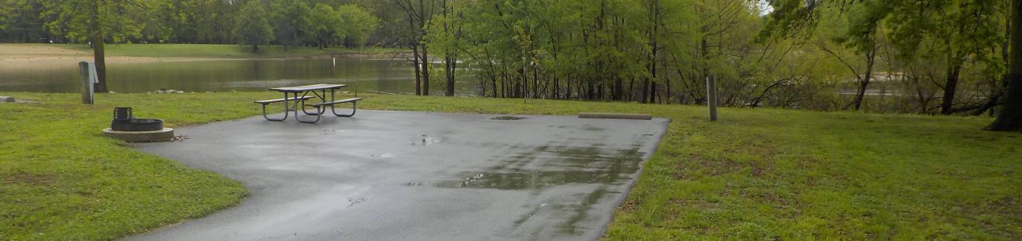
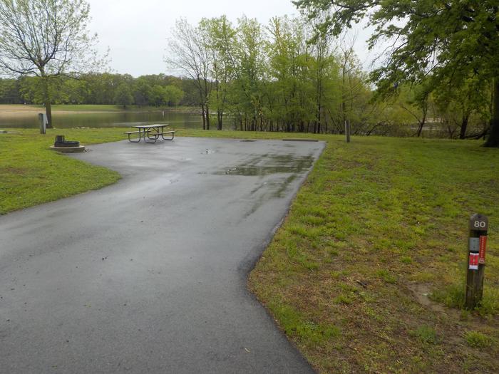
Camping Reservations
Reserve your campsite at these camping areas:
Hiking Trails
Looking for nice hiking areas to take a hike? Choose from these scenic hiking trails:
Related Link(s)
More California Recreation Areas
Savahia Peak Rock Collecting Area
The large wash north of U.S. Highway 62 just 2 miles east of Vidal Junction is an excellent site for collecting chalcedony, which can be found from Highway 95 extending east approximately 1 mile. The best method of working a site is to park safely off the pavement and walk east through the wash. The bright white chalcedony is easy to spot against the darker soil.