Directions
From Needles, CA, take U.S. Highway 95 south approx. 4 miles to 5 Mile Road. Turn left 5 Mile Road Road and drive approx. 1.5 miles. The site will be located on the left hand side. A small parking area is located in front of the site.
Phone
760-326-7000
Activities
BIKING, CAMPING, HIKING, HUNTING, WILDLIFE VIEWING, ENVIRONMENTAL EDUCATION, PHOTOGRAPHY
Camping Reservations
Reserve your campsite at these camping areas:
Hiking Trails
Looking for nice hiking areas to take a hike? Choose from these scenic hiking trails:
Related Link(s)
More California Recreation Areas
Historic Route 66 California Gateway Site Day Use Area
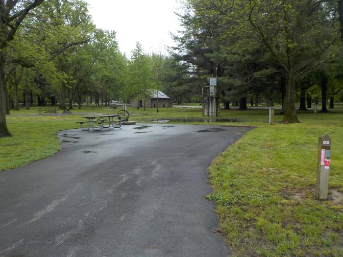
Located approximately two miles west of the Colorado River off Interstate 40, the day use and picnic area memorializes the entryway of Historic Route 66 in California. The site contains two covered picnic tables, an information kiosk, visitor log book, desert plants and trees, and a wind gage. The visitor log book has become so popular with visitors that local residents visit the site just to read the log entries.


