Directions
From Susanville:
Travel 38 miles on U. S. Highway 395 south. Turn East (left) on Laver Crossing road (0 .8 miles north of Doyle) and travel 1.4 miles to Hackstaff Road. Turn south (right) and travel approximately 1.2 mile to Fort Sage Road. Turn east (left) travel 1.1 mile to the entrance of the Fort Sage OHV Area. Turn east (right) and travel about 1 mile to the Diamondback trailhead, the Fort Sage trailhead is .05 miles up the road.
From Reno:
Travel 45 miles on U. S. Highway 395 north from the intersection of U. S. HWY 395 and U. S. I-80. Turn North (right) on Doyle Loop Road and travel1/2 mile to Hackstaff Road. Turn east (right) and travel 2.1 miles to Fort Sage Road. Turn East (right) and travel 1 mile to the entrance of the Fort Sage OHV area. Turn east (right) and travel about 1 mile to the Diamondback trailhead, the Fort Sage trailhead is .05 miles up the road
Phone
530-257-0456
Activities
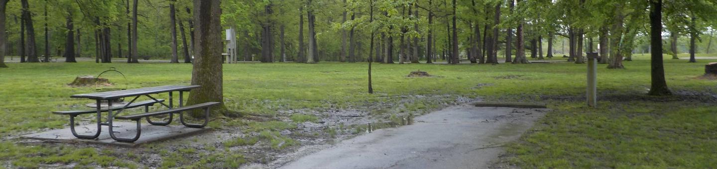
AUTO TOURING, CAMPING, OFF HIGHWAY VEHICLE, RECREATIONAL VEHICLES, WILDLIFE VIEWING, PHOTOGRAPHY
Camping Reservations
Reserve your campsite at these camping areas:
Hiking Trails
Looking for nice hiking areas to take a hike? Choose from these scenic hiking trails:
Related Link(s)
More California Recreation Areas
Off-Highway Vehicle Preliminary Grant Application Review
Rider Planet USA Motorcycle and ATV Trails Database
Video of Fort Sage Off-Highway Vehicle Area
Quiet Warrior Racing- Fort Sage OHV Area
Fort Sage OHV Area Flickr Album
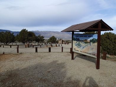
Fort Sage Off-Highway Vehicle Area
Overview
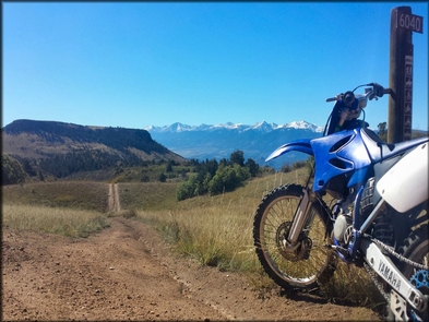
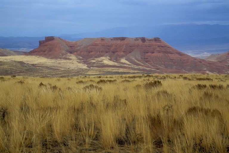
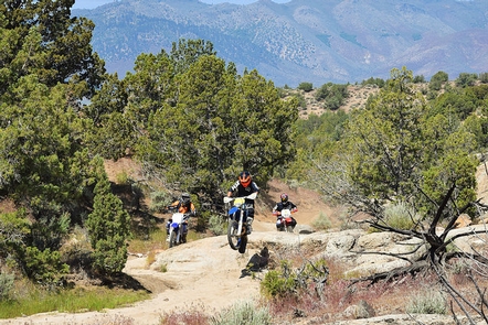
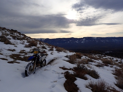
The Fort Sage Off-Highway Vehicle Area is located in the high desert region of northeastern California outside the town of Doyle. The area is about 45 miles south of Susanville, California and 45 miles north of Reno, Nevada. The special Recreation Management Area consists of approximately 28,598 acres of public land that is managed for off-highway vehicle use such as motorcycles, ATV’s, Side by Sides, and 4wd.
There are developed OHV staging areas within Fort Sage with graveled access roads accessible to 2-wheel drive vehicles and green/red sticker legal vehicles. Per county ordinance 2011-007 OHV’s can legally ride on the CR 327 Fort Sage Road and CR 344 Summers Road.
Vehicle use within the recreation area is limited to the 100 miles of designated roads and trails and is appropriate for motorcycle, all-terrain vehicles (ATV), and 4-wheel drive vehicles. The trails are marked with numbered signs displaying difficulty rating and recommended vehicle type depending on the width of the trail. The routes traverse a wide variety of terrain including flat, sandy, high desert sagebrush country and rocky, steep canyons and gulches.
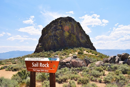
See more photos of the Fort Sage OHV Area.
Operation and maintenance of the facilities, roads and trails within the Fort Sage OHV area are funded in part, by the State of California Off-Highway Motor Vehicle Recreation Division. In October 2018, the BLM Eagle Lake Field Office will finish constructing the Diamondback and Raptor Trailheads located on the Fort Sage entrance road about .03 miles east of the Fort Sage Trailhead. An updated 2018 brochure and map is now available.
For more information or to review current and past grants visit the: CA State Parks
For information about ATV safety visit the: ATV Safety Institute.
For safety information or Recreational Vehicle training visit: Recreational Off-highway Vehicle Association
Visit these other BLM Managed Off-Highway Vehicle Areas:
Click here to comment on the CA State Parks OHV grant preliminary applications from March 2, 2020 to May 4, 2020