Directions
From Susanville, take CA-36 E/Main Street toward Reno, Nevada. Turn left onto County Highway A27/Johnsonville Road. Veer left onto County Highway A27/Center Road. Make a left onto Rice Canyon Road, and follow for 0.8 miles to the Rice Canyon open OHV area.
Phone
(530) 257-0456
Activities
AUTO TOURING, BIKING, CAMPING, HIKING, HORSEBACK RIDING, HUNTING, OFF HIGHWAY VEHICLE, PHOTOGRAPHY
Camping Reservations
Reserve your campsite at these camping areas:
Hiking Trails
Looking for nice hiking areas to take a hike? Choose from these scenic hiking trails:
Related Link(s)
More California Recreation Areas
Photos of the Rice Canyon OHV Area
Rice Canyon Off-Highway Vehicle Area
Rice Canyon Off-Highway Vehicle Area Map & Guide
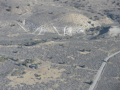
The Rice Canyon off-highway vehicle (OHV) open area lies within the Antelope/Shaffer/Bald Mountain Special Recreation Area (SRMA). The open area is about 8 miles east of Susanville, California, and consists of 120 acres of public land managed primarily for open OHV use. All OHV use beyond the open area is limited to designated routes and trails. The OHV open area is on the west side of Rice Canyon Road and is recognizable by the entrance sign, adjacent hill-climb area and large OHV staging and parking area.
Rice Canyon is open to all types of vehicles such as motorcycles, all-terrain vehicles (ATV), utility terrain vehicles (UTV) and four-wheel drive vehicles. The area provides excellent motorcycle hill-climb opportunities for the more experienced rider as well as loop track riding. Rice Canyon is also popular for training the more novice rider. Visitors can also access the OHV area by trail off Highway 139 at Antelope Mountain.
Although OHV riders do not have to stay on the trails, some of the more popular track loops are marked with numbered signs displaying difficulty rating and recommended vehicle type. The trails run both ways, so anticipate users riding in both directions.
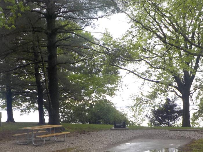
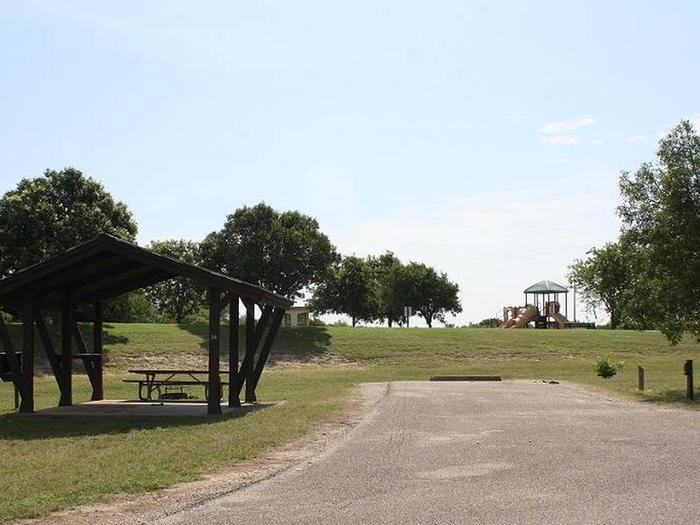
The main trailhead has facilities such as BBQ’s and picnic tables, loading ramps, a vault toilet facility. Additional improvements will continue including construction of new trails will continue in 2018.
See more photos of the Rice Canyon OHV Area.
Funding for the area has been through the California State Parks OHV green sticker grant program. For more information or to review current and past grants visit the: CA State Parks .
For information about ATV safety visit the: ATV Safety Institute.
For safety information or Recreational Vehicle training visit: Recreational Off-highway Vehicle Association
Visit these other BLM Managed Off-Highway Vehicle Areas:

