

Directions
Located in Gooding County, 14 miles northwest of Gooding, Idaho within the Mount Bennett Hills.
Phone
208-732-7200
Activities
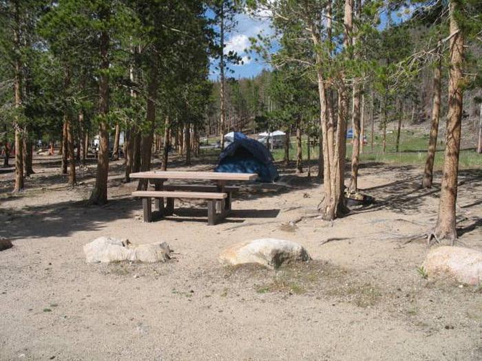
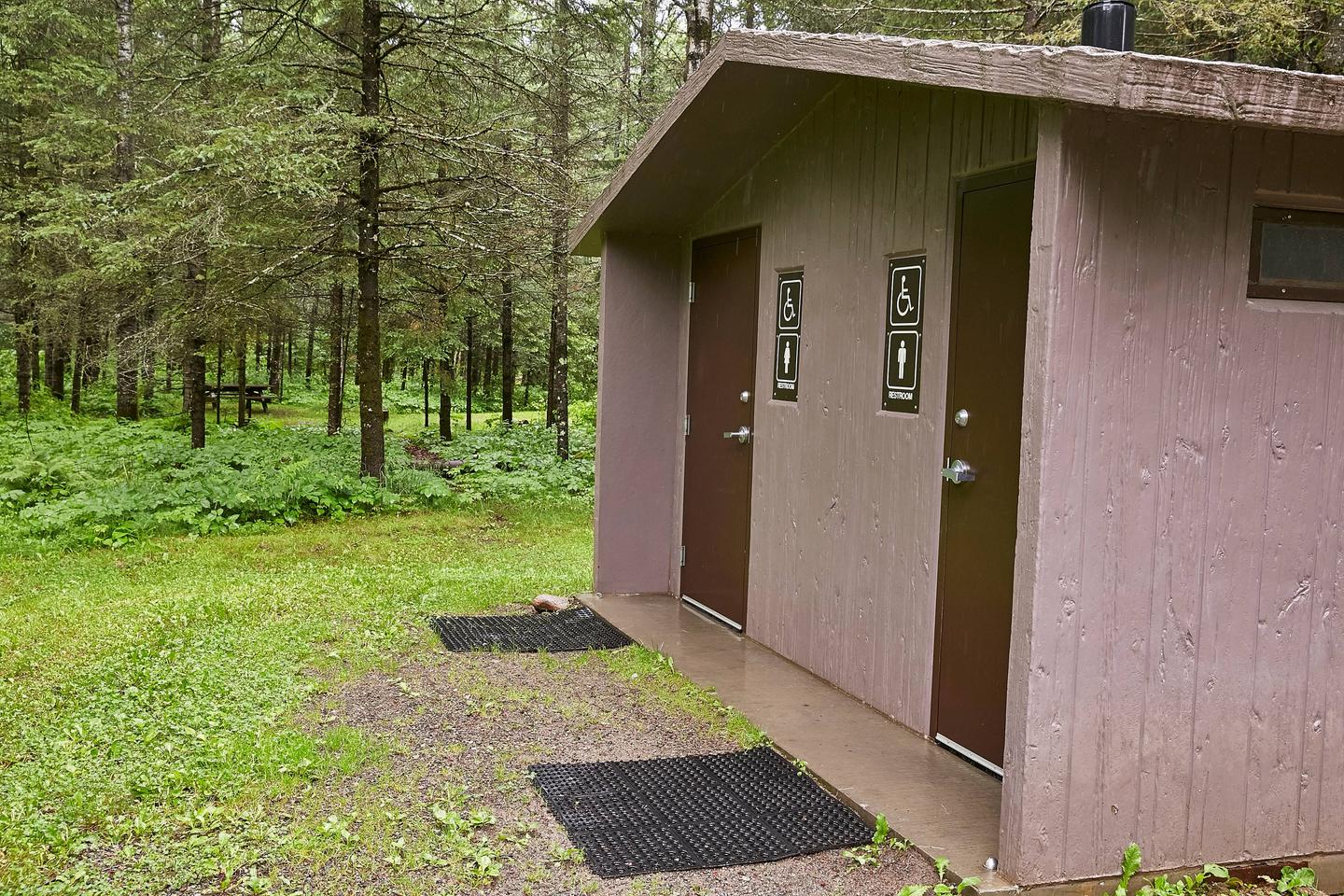
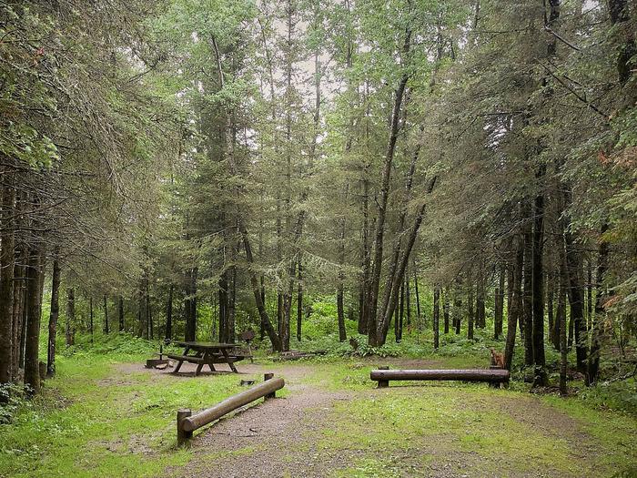
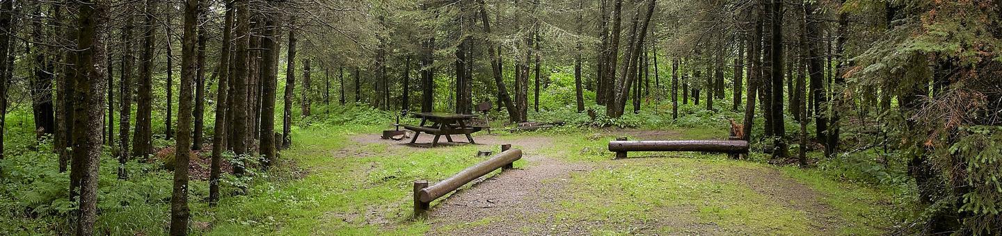
CAMPING, HIKING, HORSEBACK RIDING, HUNTING, WILDLIFE VIEWING, PHOTOGRAPHY
Camping Reservations
Reserve your campsite at these camping areas:
Hiking Trails
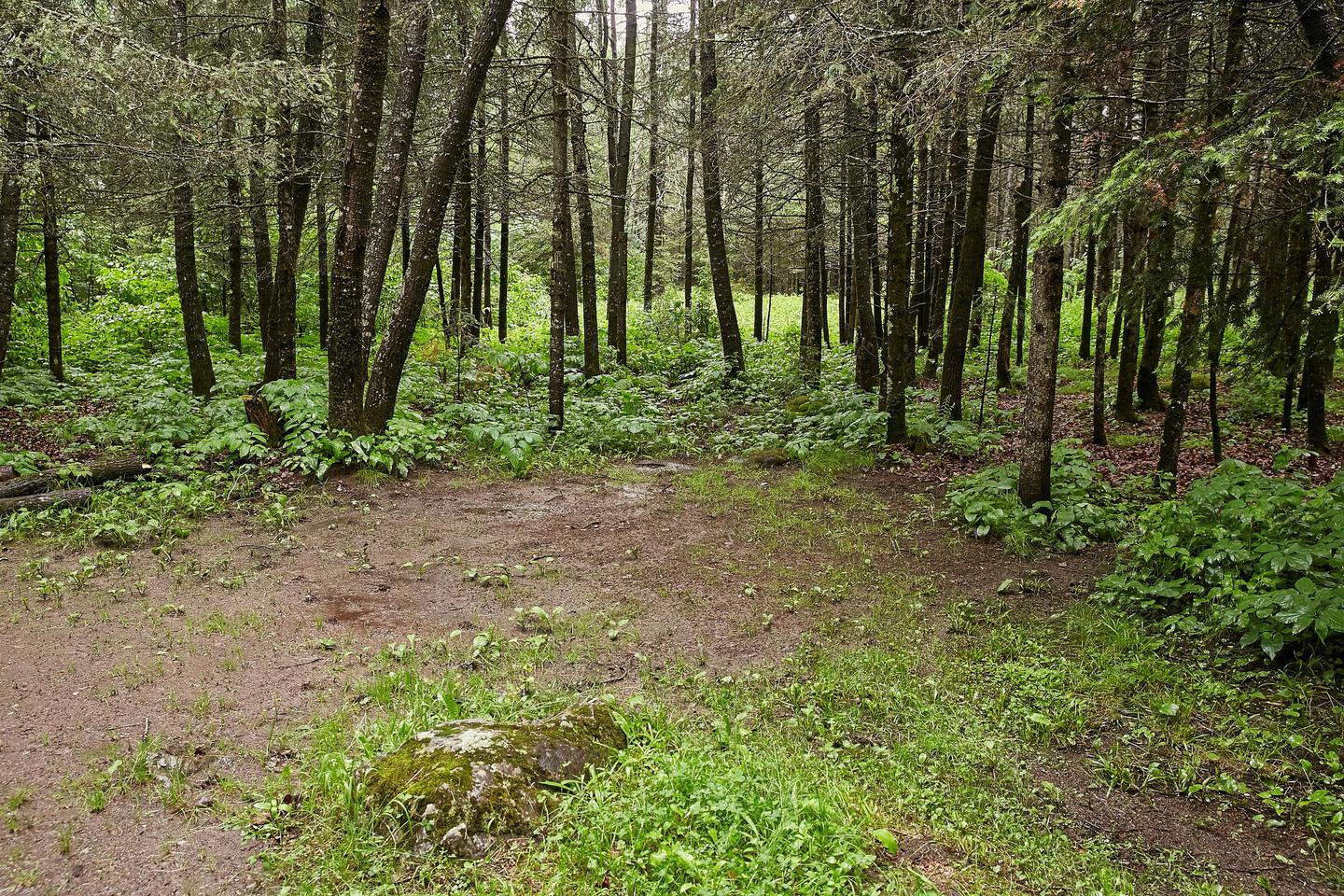
Looking for nice hiking areas to take a hike? Choose from these scenic hiking trails:
Related Link(s)
Idaho Wilderness Study Areas photos
In Idaho, BLM manages nearly 15,000 acres of public lands in the Gooding City of Rocks East Wilderness Study Area. The Mount Bennett Hills are a rolling belt of foothills between the Sawtooth Mountains to the north and the Snake River Plain to the south. The southeastern portion of the WSA is composed of series of deep canyons carved into rhyolite. Throughout these canyons are rhyolite columns which rise more than 100 feet. Here you will find unusual rock formations called hoodoos. More shaded sections of the canyons support pockets of willows, aspen, cottonwood, serviceberry and chokecherry. Elk, deer, coyotes, bears, birds of prey, upland game birds and cutthroat trout call this area home.