Directions
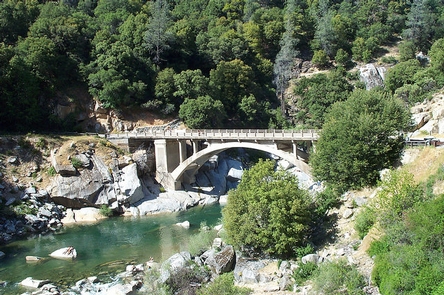
From Nevada City: Follow Highway 49 to North Bloomfield Road and travel ten (10) miles to South Yuba Recreation Lands. From the one lane bridge at Edwards Crossing it is approximately 1 1/2 miles on a dirt/gravel road to the campground.
PLEASE NOTE: the bridge at Edward Crossing has a 4 ton limit. RV’s, trailers and vehicles over 4 tons not recommended.
For RV’s/Trailers/Vehicles over 4 tons: Recommended Route – Follow Highway 49 to Tyler Foote Crossing. Turn right onto Grizzly Hill Road to the intersection with North Bloomfield Road and make a left turn. Proceed through a small residential area and make a right hand turn into the campground.
Phone
916-941-3101
Activities
BIKING, CAMPING, FISHING, HIKING, HORSEBACK RIDING, WILDLIFE VIEWING, PHOTOGRAPHY
Camping Reservations
Reserve your campsite at these camping areas:
Hiking Trails
Looking for nice hiking areas to take a hike? Choose from these scenic hiking trails:
Related Link(s)
More California Recreation Areas
BE – BEAR – AWARE (USFS website)
KEEP ME WILD : Mountain Lion (CDFW website)
The BLM, South Yuba Campground is CLOSED for the season. (posted Oct. 15, 2019)
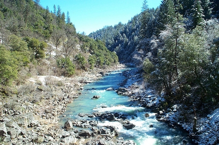
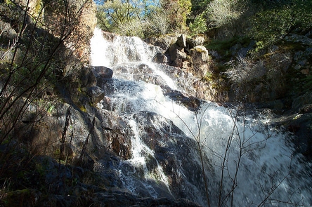
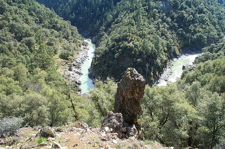
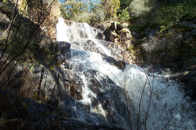
The South Yuba Wild & Scenic River Recreation Area and National Trail is located approximately 10 miles northeast of Nevada City, California. The Recreation Area is administered by the Bureau of Land Management (BLM); U.S. Forest Service (USFS); and California Department of Parks and Recreation (State Parks/DPR). This 15 mile trail is open to hiking, horseback riding, trail running and mountain biking. The trail is closed to motorized vehicles. The South Yuba Trail takes hikers, mountain bikers, and horseback riders through historic foothill river canyons. Expect to see evidence of California’s rich gold rush history.
Please Note: Unstable trail and landslides between Purdon and Edward Crossings along the South Yuba Trail. Approximately 1 and 1/2 mile in from Edward Crossing trail head. Use caution when hiking along trail.
Need a Map?
South Yuba Recreation Area & Trail Map
South Yuba Campground Site Map
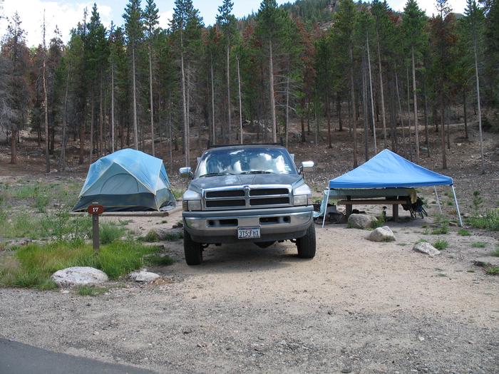
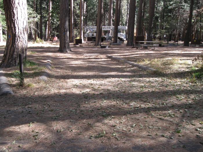
FACILITIES AT THE SOUTH YUBA CAMPGROUND:
- Includes sixteen (16) campsites for tents.
- Six (6) sites will accommodate small trailers/RV’s.
- Fifteen (15) sites are ADA Accessible.
- RV maximum length is 22 feet. Trailer maximum length is 16 feet.
- All sites with tables, water, fire rings, pit toilets and trash pick-up.
- The South Yuba Wild & Scenic River is approximately one mile from the campground.
PERMITS, FEES, AND LIMITATIONS:
- Pay sites, $5.00 per night, per site.
- Eight people maximum per site. Two car maximum per site.
- First come first serve basis. No reservation system available.
- Fourteen (14) day camp limit within a 90 day period.
- Pay camp fee within 30 minutes of occupying site.
- Self-pay Iron Ranger fee system.
- A campsite is rented ONLY once it has been paid in full with the pay-stub properly completed and attached to campsite post and the site is occupied by campers.
- Season of use: April 1st through October 15th (weather permitting).
- Dispersed camping is allowed along the South Yuba Trail in remote locations.
- Campfires ONLY allowed within the developed South Yuba Campground campsites.
- Campfires NOT allowed in dispersed camping areas along the trails. Cook stoves are allowed.
- Up to a $1,000 Fine for campfires outside the South Yuba Campground.
Be sure to get your California Campfire Permit
Please also visit these neighboring sites:
Malakoff Diggins State Historic Park
Friends of Malakoff Diggins.
Helpful Links:
Be Bear Aware (USFS webpage)
Keep Me Wild: Mountain Lion (CDFW webpage)
Dreamflows Home Page (River flow info courtesy of Chris Shackleton, Sacramento, CA)
Return To: BLM, Mother Lode Field Office
Recreation Passes: America the Beautiful “ National Parks and Federal Recreational Lands Pass