Directions
The refuge is on the Albarmarle – Pamlico peninsula in eastern North Carolina, approximately 8 miles east of Swan Quarter. From the East or West, take Hwy 264 to the intersection of Hwy 94N. The entrance to the Refuge is 1.7 mi. North on 94. Turn right off of 94 onto a gravel road. Travel 2.3 miles to the Refuge Headquarters. From the North, enter Hyde County via Hwy 45S & then East on Hwy 264 (& continue as above), or enter on Hwy 94S at Columbia, through Fairfield, turning left at the Refuge entrance (& continue as above).
Phone
252-926-4021
Activities
AUTO TOURING, BOATING, INTERPRETIVE PROGRAMS, FISHING, HIKING, HUNTING, WILDLIFE VIEWING, ENVIRONMENTAL EDUCATION, PHOTOGRAPHY
Camping Reservations
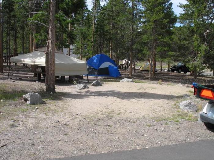
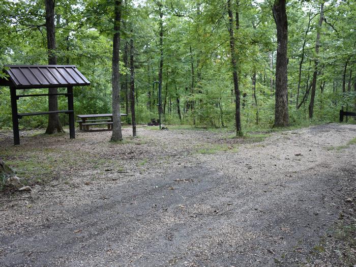
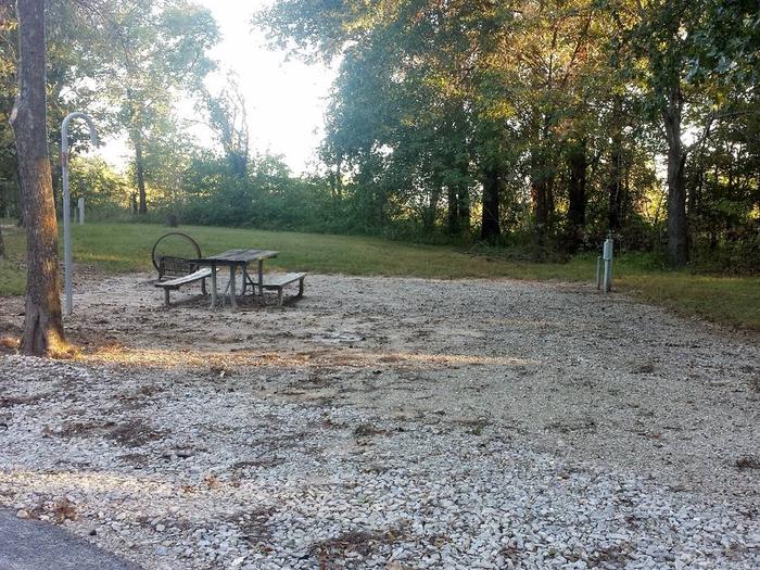
Reserve your campsite at these camping areas:
Hiking Trails
Looking for nice hiking areas to take a hike? Choose from these scenic hiking trails:
Related Link(s)
More North Carolina Recreation Areas
Mattamuskeet National Wildlife Refuge
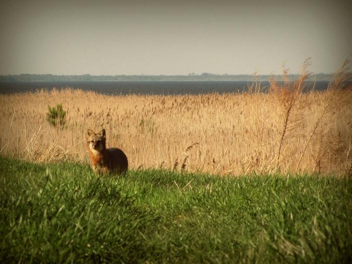
Located in eastern North Carolina in Hyde County, the Mattamuskeet National Wildlife Refuge consists of more than 50,000 acres of water, marsh, timber and crop lands. The refuge’s most significant feature is Lake Mattamuskeet, the largest natural lake in North Carolina. The lake is 16 miles long, five to six miles wide, encompassing approximately 40,000 acres, but averages two feet in depth. Mattamuskeet NWR lies in the middle of the Atlantic Flyway and provides valuable migration and wintering habitat for waterfowl and other migratory birds. Waterfowl numbers exceed 100,000 each winter and include snow geese (5,000-8,000), Canada geese (5,000-10,000), tundra swans (25,000-35,000) and 22 species of ducks (90,000-150,000). While noted for its waterfowl, Mattamuskeet NWR also provides habitats for a significant fishery resource, 70-90 pairs of nesting osprey, wintering bald eagles and peregrine falcons, deer, bobcats, otters, gray foxes, an occasional black bear or red wolf, 240 species of birds and numerous other species endemic to the area.

