Directions
The Red Mountain unit is accessed by traveling U.S. Highway 101 to Piercy and then the frontage road to Red Mountain Access Road. Travel to the end of Red Mountain Access Road. The wilderness area is upslope several hundred meters; however, there is no developed trail but pink flagging marks access along the permanent exclusive easement that passes through private property. Access to the Cahto Peak unit is from U.S. Highway 101 at Laytonville, west on Branscomb Road, then right on Cahto Peak Road to its end.
Phone
707-825-2300
Activities
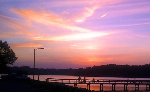
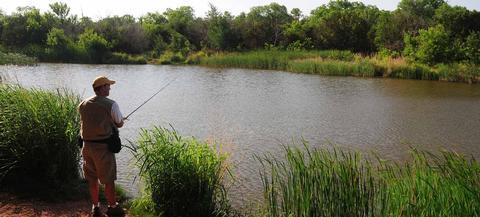
FISHING, HIKING, HUNTING, WILDLIFE VIEWING, PHOTOGRAPHY
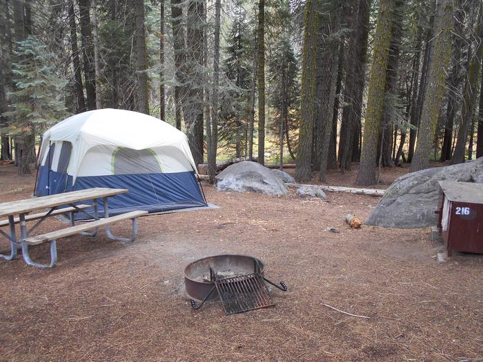
Camping Reservations
Reserve your campsite at these camping areas:
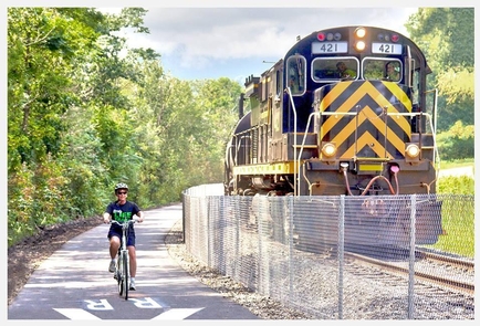
Hiking Trails
Looking for nice hiking areas to take a hike? Choose from these scenic hiking trails:
Related Link(s)
More California Recreation Areas
Middle Fork & South Fork Eel River
Mendocino County. The Red Mountain unit is 75 miles south of Eureka, California and three miles northeast of Leggett, California. The Cahto Peak unit is 100 miles south of Eureka, California and 10 miles west of Laytonville, California. These two areas are bisected by U.S. Highway 101 and private lands.