Tennessee-Tombigbee Waterway, Mississippi Camping & Hiking

Tennessee-Tombigbee Waterway, Mississippi Camping & Hiking

Tennessee-Tombigbee Waterway Image Gallery

Listen

Directions

  • Waterway Management Center (Columbus): From US 82, Exit at US45/Plymouth Bluff Access Road Exit and go North. Go Left on Old West Point Road 1 mi to right on Right Bank Access Road to right on West Plymouth Road. Phone: (662)327-2142
  • Tom Bevill Visitor Center: From Pickensville, AL, Highway 14, S 1 mi to Tom Bevill Visitor Center. Phone: (205)373-8705.
  • Jamie L. Whitten Historic Center: From Fulton, MS exit North from 178 onto N. Cummings Street to John Rankin Highway. The center is on the left, 100 Campground Road, Fulton, MS Phone: (662) 862-5414
  • Bay Springs Resource Office: From Dennis, MS, Highway 4, W 5 mi to Bay Springs Visitor Center. 82 Bay Springs Resource Rd., Dennis, MS. Phone: (662) 454-3481

    Phone

    (662) 327-2142

    Activities

    BIKING, BOATING, HISTORIC & CULTURAL SITE, CAMPING, FISHING, HIKING, PICNICKING, VISITOR CENTER, WATER SPORTS, WILDLIFE VIEWING, PLAYGROUND PARK SPECIALIZED SPORT SITE, OTHER RECREATION CONCESSION SITE, HOTEL/LODGE/RESORT PRIVATELY OWNED

    Camping Reservations

    Reserve your campsite at these camping areas:

    Mississippi Campgrounds

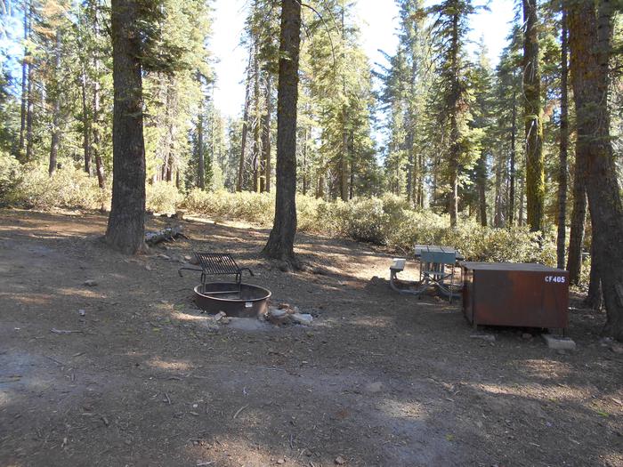
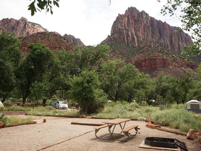
    BLUE BLUFF CAMPGROUND (ABERDEEN MS)

    DEWAYNE HAYES

    PICKENSVILLE CG (PICKENSVILLE AL)

    PINEY GROVE

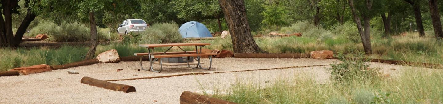
    TOWN CREEK CAMPGROUND – WEST POINT – MS

    WHITTEN PARK

    Hiking Trails

    Looking for nice hiking areas to take a hike? Choose from these scenic hiking trails:

    Mississippi Hiking Trails

    Related Link(s)

    More Mississippi Recreation Areas

    Columbus Marina

    Tennessee-Tombigbee Waterway Photo Album

    Tennessee-Tombigbee Waterway Map

    Marina Cove

    Eastern National

    Bay Springs Marina

    Tennessee-Tombigbee Waterway Website

    Tennessee-Tombigbee Waterway Hunting Map

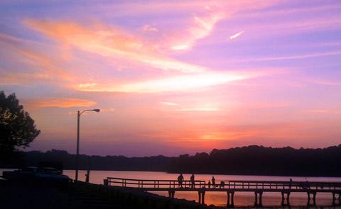
    The Tenn-Tom Waterway is an outdoor enthusiasts’ paradise. From picnicking to fishing to camping, the Tenn-Tom has it all. The river section of the waterway stretches from Demopolis, Alabama north to Amory, Mississippi and encompasses 149 miles and four locks and dams. The Canal Section of the Tennessee Tombigbee Waterway stretches North from Amory, Mississippi to Jamie L. Whitten Lock and Dam near Dennis, Mississippi. Forty-six miles in length, it has a total of five locks and dams. The Divide Section of the Tennessee Tombigbee Waterway begins at Jamie L. Whitten Lock and Dam and runs North for 39 miles to Yellow Creek on Pickwick Lake near the Tennessee border.

  • More from CampingHiking.net:

    Cold Springs Reservoir, Washington Camping & Hiking

    Listen Directions Site is located about 7 miles east of Hermiston, Oregon off State Road 207. Phone 509-546-8300 Activities BOATING, FISHING, HIKING, HUNTING, PICNICKING, WILDLIFE VIEWING Camping Reservations Reserve your

    Wehrspann Lake, Nebraska Camping & Hiking

    Listen Directions Highway 370 to Highway 50 – go north to Giles road, then west to reach the main entrance. Phone (402)-996-3766 Activities WILDLIFE VIEWING, ENVIRONMENTAL EDUCATION Camping Reservations Reserve