
Directions
From Sacramento, take Interstate 5 south and exit at Twin Cities Road. Head east on Twin Cities Road to Franklin Boulevard, then turn south. Continue on Franklin Blvd and go past Desmond Road. The Cosumnes River Preserve Visitor Center is approximately a half mile south along Franklin Blvd on the left (east) side.
Phone
916-684-2816
Activities
INTERPRETIVE PROGRAMS, FISHING, HIKING, HUNTING, WATER SPORTS, WILDLIFE VIEWING, ENVIRONMENTAL EDUCATION, PHOTOGRAPHY, PADDLING
Camping Reservations
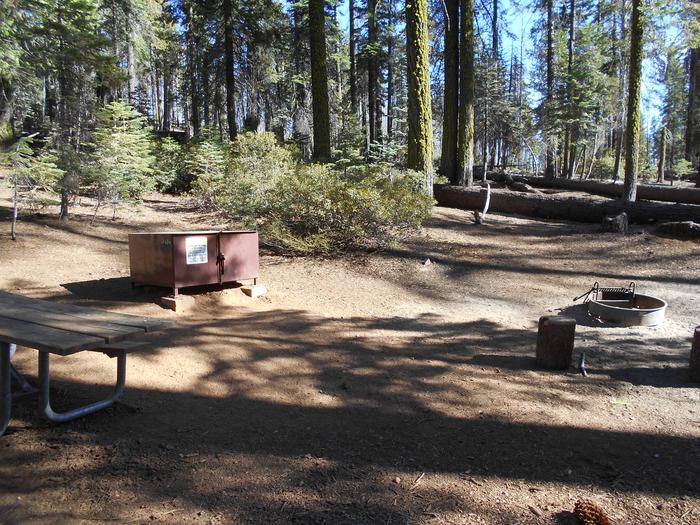
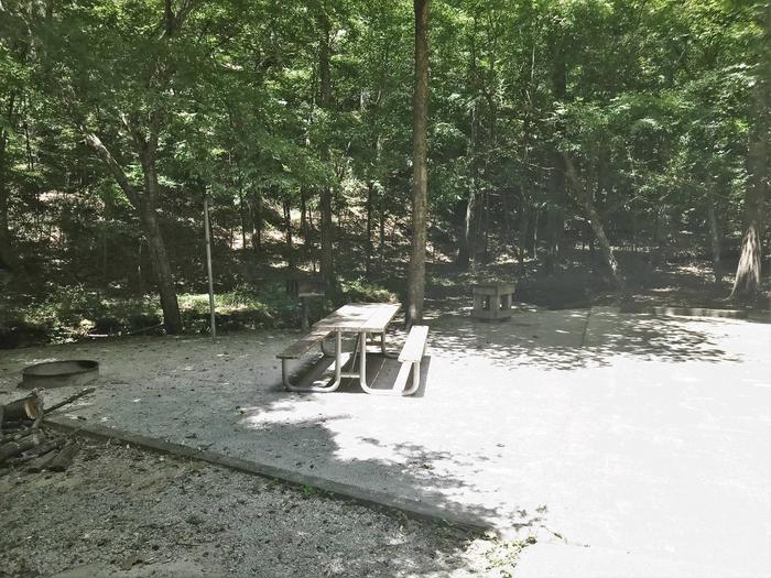
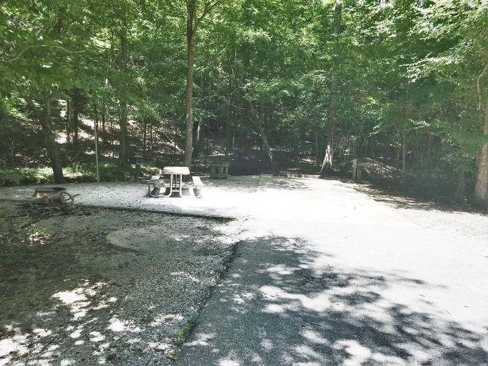
Reserve your campsite at these camping areas:
Hiking Trails
Looking for nice hiking areas to take a hike? Choose from these scenic hiking trails:
Related Link(s)
More California Recreation Areas
The Cosumnes River Preserve is home to California’s largest remaining valley oak riparian forest, and is one of the few protected wetland habitat areas in the state. The Preserve includes over 46,000 acres of central valley grasslands, vernal pools, wetlands and valley oak forests.
Nestled in the heart of California’s Central Valley, the Preserve is a critical stop on the Pacific Flyway for migrating and wintering waterfowl. Over 250 species of birds have been sighted on or near the Preserve, including the State-listed threatened Swainson hawk, greater and lesser sandhill cranes, Canada geese and numerous ducks.The Cosumnes is the last free-flowing river from the mighty Sierra Nevada Mountains into the Great Central Valley.
Visit: Cosumnes River Preserve Visitor Center
Visit our “Partners” homepage at: www.cosumnes.org
Hunting and Shooting Info – Cosumnes River Preserve:
- Special scheduled hunts available by permit.
- Youth and mobility-impaired hunters contact CRP @ (916) 684-2816
- BLM Lands within the Cosumnes River Preserve ACEC are CLOSED to hunting and target shooting.
NOTE: All California game species are regulated by the California Department of Fish and Wildlife (CDFW). Rules, regulations, and seasons are controlled by CDFW, and it is the hunter™s responsibility to verify and comply with proper species, seasons, zones, regulations, and legal location if hunting on public lands.
FGC 3004 “ It is unlawful for any person to hunt or discharge while hunting, any firearm or other deadly weapon within 150 yards of any occupied dwelling house, residence, or other building or any barn or other outbuilding used in connection therewith. The 150 yard area is a “Safety Zone.”
Helpful Links:
Where to Shoot
California Department of Fish & Wildlife
Hunting, Fishing and Recreational Shooting on Public Lands, BLM California
Return To: BLM, Mother Lode Field Office