Directions
From Los Banos: Travel east on Pacheco Blvd to Mercey Springs Road. Turn left on Mercey Springs Road. Continue on Mercey Springs Road for approximately 3 miles to Henry Miller Road. Turn right on Henry Miller Road and continue for approximately 7 miles to Turner Island Road (4-way stop). Turn left on Turner Island Road. After approximately 5.25 miles, turn right onto Sand Slough Road. Sand Slough Road will curve to the left and become Nickel Road. After approximately1 mile, the road makes a sharp right and becomes Sandy Mush Road. Continue on Sandy Mush Road for approximately 3.5 miles to the Refuge entrance on the right (south) side of the road.
From Highway 99: Take the Highway 152 west exit and travel westbound on Hwy 152 for approximately 15 miles. Take the Hwy 59 north exit toward Merced and travel north for approximately 7 miles to Sandy Mush Road. Turn left on Sandy Mush Road and travel westbound for approximately 8 miles to the Refuge entrance on the left (south) side of the road.
From Interstate 5: Take the Los Banos/Highway 152 east exit. Travel on Highway 152 eastbound into Los Banos. Turn left on Mercey Springs Road. Continue on Mercey Springs Road for approximately 3 miles to Henry Miller Road. Turn right on Henry Miller Road and continue for approximately 7 miles to Turner Island Road (4-way stop). Turn left on Turner Island Road. After approximately 5.25 miles, turn right onto Sand Slough Road. Sand Slough Road will curve to the left and become Nickel Road. After approximately1 mile, the road makes a sharp right and becomes Sandy Mush Road. Continue on Sandy Mush Road for approximately 3.5 miles to the Refuge entrance on the right (south) side of the road.
Phone
209-829-3508
Activities
AUTO TOURING, HIKING, HUNTING, VISITOR CENTER, WILDLIFE VIEWING, ENVIRONMENTAL EDUCATION, PHOTOGRAPHY
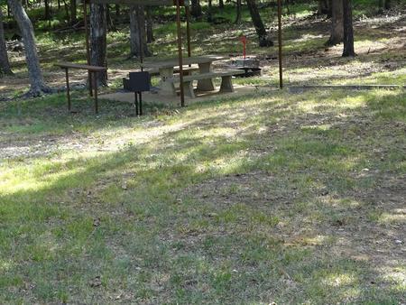
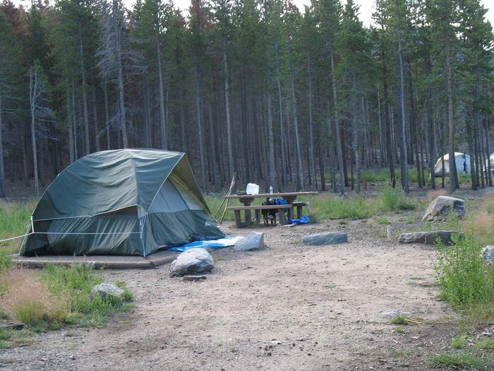
Camping Reservations
Reserve your campsite at these camping areas:
Hiking Trails
Looking for nice hiking areas to take a hike? Choose from these scenic hiking trails:
Related Link(s)
More California Recreation Areas
Merced National Wildlife Refuge
The Merced National Wildlife Refuge encompasses 10,258 acres of wetlands, native grasslands, vernal pools, and riparian areas. It was established in 1951 under the Lea Act to attract wintering waterfowl away from adjacent farmland where foraging ducks and geese were causing extensive damage to crops. The refuge hosts the largest wintering populations of lesser sandhill cranes and Ross’ geese along the Pacific Flyway. Each fall approximately 20,000 cranes and 60,000 arctic nesting geese terminate their annual migrations from Alaska and Canada to make the refuge home. Here they mingle with thousands of other visiting waterfowl and shorebirds to make the refuge a true winter phenomenon. The refuge provide important breeding habitat for Swainson’s hawks, tri-colored blackbirds, marsh wrens, mallards, gadwall, cinnamon teal and burrowing owls. Coyotes, ground squirrels, cottontail rabbits, beaver and long-tailed weasels can also be seen year round.