Directions
From I-40 at the west end of Grants, turn south on Highway 53 (Exit 81) and drive about 26 miles. Turn south on County Road 42, about one mile after the Bandera Crater Ice Caves turnoff. County Road 42 passes through El Malpais National Monument for approximately 3 miles before entering BLM’s El Malpais National Conservation Area. Continue approximately 15 miles to a Y intersection. Turn right and continue another half mile to where the Continental Divide National Scenic Trail crosses the road. Hike north on the trail (there is no trailhead, and the trail is marked with cairns) into the WSA.
Phone
505-761-8700
Activities
HIKING
Camping Reservations
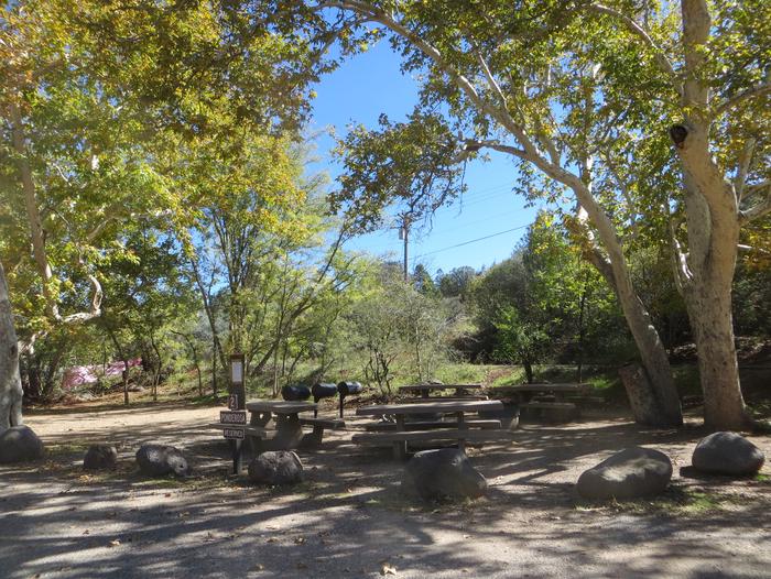
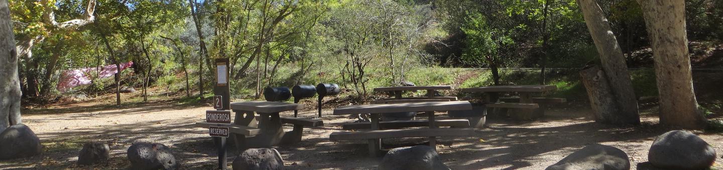
Reserve your campsite at these camping areas:
Hiking Trails
Looking for nice hiking areas to take a hike? Choose from these scenic hiking trails:
Related Link(s)
More New Mexico Recreation Areas
BLM New Mexico YouTube Channel
The Chain of Craters WSA is located in west-central New Mexico within the El Malpais National Conservation Area. This is a line of more than 25 cinder cones that was the result of magma finding a weak spot in the Earth’s crust. The lower elevations are dominated by piÑon and juniper woodland giving way to forests of ponderosa pine at higher elevations. The Continental Divide National Scenic Trail passes through this WSA.