Directions
The Chain of Craters Byway is located in Cibola County, near Grants, NM. From Interstate I-40, access may be gained from NM 117 or NM 53.
To begin the byway from the south entrance, turn south onto NM 117 from I-40, approximately 5 miles east of Grants. County Road 42 begins approximately 35 miles from the NM 117 turnoff. To begin the byway from the north end, travel I-40 past Grants and take the San Rafael exit south. Travel on NM 53 approximately 25 miles. County Road 42 begins on the south side of NM 53.
Please be aware that the Chain of Craters Backcountry Byway requires high-clearance vehicles. The road is not paved, although its dirt and gravel surface is routinely graded by the county. Grades, curves, and road surface can be negotiated with a two-wheel drive, high-clearance vehicle without undue difficulty. During rain and snow seasons the road is likely to be impassable.
Phone
505-761-8700
Activities
AUTO TOURING, CAMPING, HIKING, WILDLIFE VIEWING, PHOTOGRAPHY
Camping Reservations
Reserve your campsite at these camping areas:
Hiking Trails
Looking for nice hiking areas to take a hike? Choose from these scenic hiking trails:
Related Link(s)
More New Mexico Recreation Areas
BLM New Mexico YouTube Channel
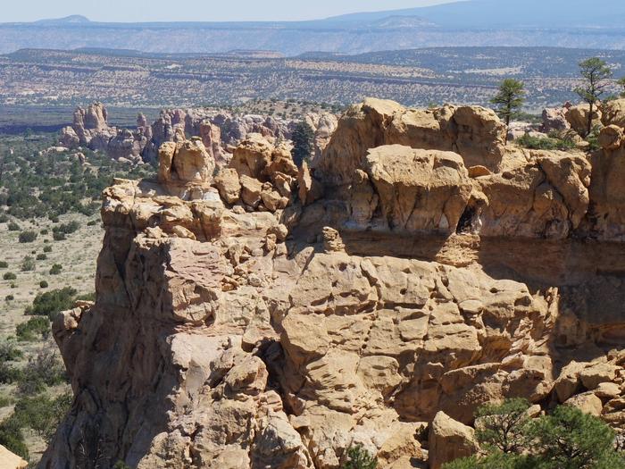
The Chain of Craters Backcountry Byway is a 33-mile backcountry byway located in El Malpais National Conservation Area (NCA) and National Monument in northwestern New Mexico. The byway, which is County Road 42, passes almost exclusively through public lands. County Road 42 forms the western boundary of the West Malpais Wilderness and connects NM 53 and NM 117. For information regarding what you will see or the public lands you will have access to along the byway, see BLM’s El Malpais NCA recreation website.