Directions
From I-15, take exit 288 for S.R. 140 towards 14600 S.
At the bottom of the off ramp turn east.
Turn right at the first traffic light, Minuteman Drive.
Follow Minuteman Dr for approximately 2.5 miles.
There will be a sign that tells you when to turn left for the Flight Park.
After you turn left at the sign, follow that road and the Flight park will be on your left.
Phone
801-533-5127
Activities
OTHER RECREATION CONCESSION SITE, OBSERVATION SITE, INFORMATION SITE
Camping Reservations
Reserve your campsite at these camping areas:
Hiking Trails
Looking for nice hiking areas to take a hike? Choose from these scenic hiking trails:
Related Link(s)
Browse Nearby Parks and Monuments
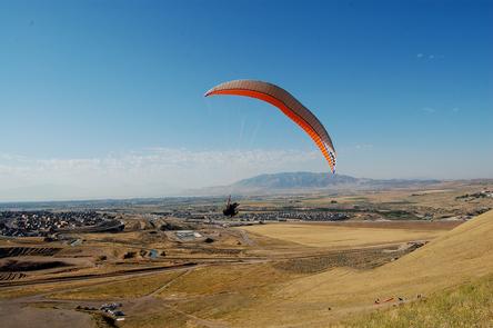
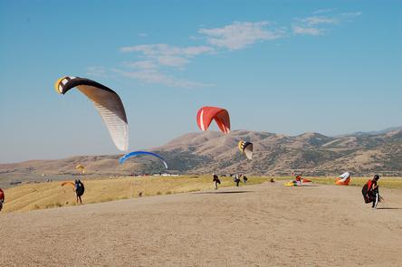
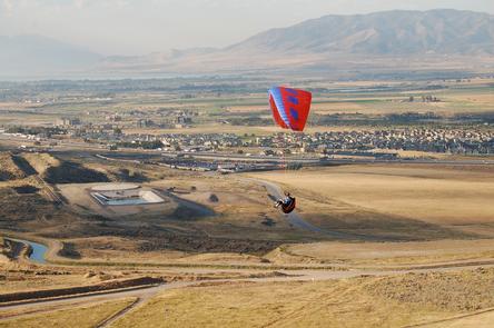
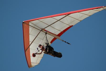
Utah State Parks and Recreation and the Utah Hang Gliding and Paragliding Association (UHGPGA) are partnering to preserve this unique recreation area that is an excellent site for teaching and gathering experience for flyers of all levels. It is known worldwide as one of the best training sites for both paragliding and hang gliding.
Flight Park Recreation Area is being jointly managed by Utah State Parks and Recreation and the Utah Hang Gliding and Paragliding Association (UHGPGA). Each year approximately 700 pilots fly the point and nearly 30 percent of those are from out of state or out of the country.Please visit the UHGPGA website for more information about flying safety and requirements.

