Directions
From Interstate 15, west of Barstow, California, take State Highway 58 for 18 miles, to Harper Lake Road. Turn north and travel for about six miles. Turn east (to the right) on Lockhart Road, a partially-maintained dirt road, and drive two miles to the site.
Phone
760-252-6000
Activities
INTERPRETIVE PROGRAMS, HIKING, WILDLIFE VIEWING, ENVIRONMENTAL EDUCATION, PHOTOGRAPHY
Camping Reservations
Reserve your campsite at these camping areas:
Hiking Trails
Looking for nice hiking areas to take a hike? Choose from these scenic hiking trails:
Related Link(s)
More California Recreation Areas
Overview

No less amazing are the beautiful views and varied scenery that make Harper Lake a favorite recreation destination.
The modern history of Harper Dry Lake dates back to 1942, when amateur archaeologists discovered what they believed to be primitive stone tools in this area. Fragments were embedded in the sediments of the shoreline of an ancient Pleistocene Era lake, called Lake Manix
Camping
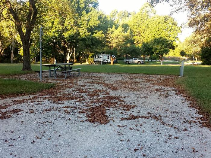
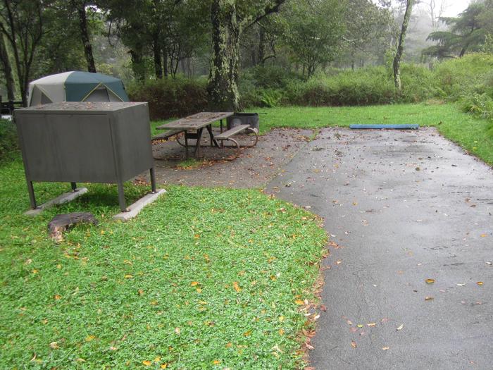
Dispersed camping and parking are allowed in areas that show obvious signs of prior use and lack of vegetation cover, that are within 50 feet of a designated open route, and that are at least 200 yards from wildlife watering areas. Camping in any one location is limited to 14 days. Please obtain permission before entering private land. Fire permits are required and may be restricted in the fire season (generally May-October). Fire danger is extreme during most of the year. You can obtain a California campfire permit online at www.preventwildfireca.org.
Off-Highway Vehicle Use

Routes not marked as open with a brown marker are CLOSED to motorized vehicles. Cross-country or off-route OHV activities are not allowed in Harper Lake; please use the nearby Rasor, El Mirage, Johnson Valley, or Stoddard Valley OHV areas for cross-county travel.
Visitors can access the subregion from the south via Interstate 15, Route 58, and Irwin Rd.
Hunting and Fishing
- Harper Lake Subregion is open to hunting and shooting with rifles or handguns. Hunting seasons and bag limits vary so be sure to check with the California Department of Fish and Wildlife for complete and current hunting regulations.
- Fire restrictions may apply as well. In the immediate vicinity of wildlife watering areas, hunting is limited to 30 minutes.
- It is illegal to shoot within 150 yards of any campsite or to shoot at trees, signs, glass bottles, domestic livestock, outbuildings, or other objects on federal land.
- On private land, visitors must obtain permission from the landowner to discharge firearms.
Flora and Fauna
Among the many mammals sighted at Harper Lake are bobcat, coyotes, kit fox, white-tailed antelope squirrel, black-tailed jackrabbit, and desert cottontail.
Harper Dry Lake Marsh is an oasis for birds, particularly of the waterfowl and wetland variety. Snowy plovers, American Avocets, Least Sandpipers, and Killdeer join Wilson™s Phalaropes on the muddy shores. Virginia rails have been known to breed among wetland vegetation that hides marsh wrens and yellow-headed blackbirds.
Harper Lake also contains over 27,000 acres of designated desert tortoise critical habitat. Visitors may also encounter a variety of insects near water sources, as well as rattlesnakes, such as the Mojave or Sidewinder, throughout Harper Lake.
Flora communities include an extensive saltbush community, creosote scrub, and (at the highest elevations) the Joshua tree woodland. This subregion also includes the occurrence of special status plant species including the Barstow woolly sunflower and desert cymopteru.


