Directions
From Massachusetts Route 2, take Exit 38 (Route 110/111) south toward Harvard; bear right to stay on Route 110 at Harvard Center; and, turn right onto Still River Depot Road at the Still River Post Office. The refuge parking area is at the end of Still River Depot Road, past the railroad tracks.
Phone
978-443-4661
Activities
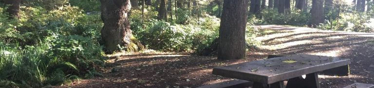
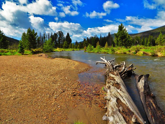
BOATING, INTERPRETIVE PROGRAMS, FISHING, HIKING, HUNTING
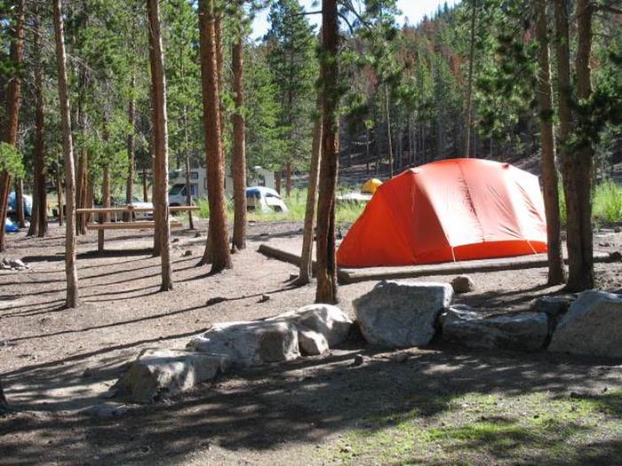
Camping Reservations
Reserve your campsite at these camping areas:
Hiking Trails
Looking for nice hiking areas to take a hike? Choose from these scenic hiking trails:
Related Link(s)
More Massachusetts Recreation Areas
Oxbow National Wildlife Refuge (NWR) is located in north-central Massachusetts, approximately 35 miles northwest of Boston, MA. The refuge lies within the towns of Ayer and Shirley in Middlesex County and the towns of Harvard and Lancaster in Worcester County. The refuge consists of approximately 1,667acres of upland, southern New England flood-plain forest, and wetland communities along nearly 8 miles of the Nashua River corridor. Oxbow NWR was formed by three land transfers from the former U.S. Army, Fort Devens Military Installation, and a recent purchase of private land in Harvard, MA. Two of the transfers from the Army (May, 1974 and February, 1988) formed the original 711-acre portion of the Refuge located south of Massachusetts Route 2. The third Army transfer occurred in May of 1999, and added the 836-acre portion of the Refuge that is located north of Route 2. Finally, approximately 120 acres were added to the Refuge in April, 2001, with the acquisition of the former Watt Farm property along Still River Depot Road in Harvard.